|
July 11, 2009 Jeff Dieffenbach - #441 email me at dieffenbach @ alum.mit.edu with comments or stories from your TBP! click here for slide show | back to Triple Bypass home | back to portfolio | back to deepbrook home click any image to see an enlargement |
||||||
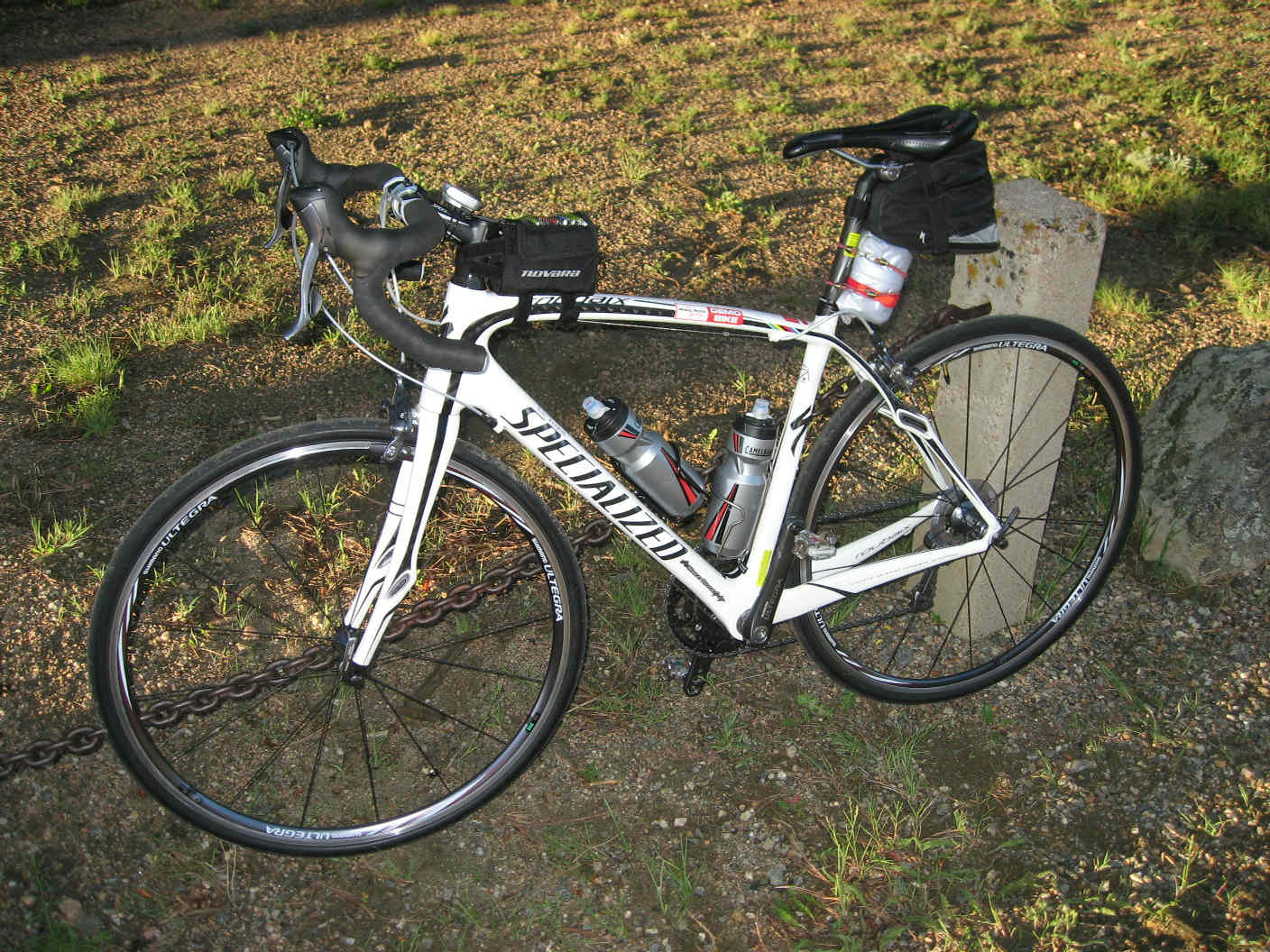
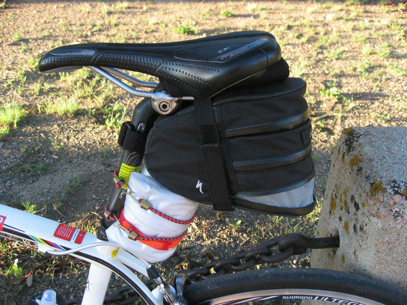
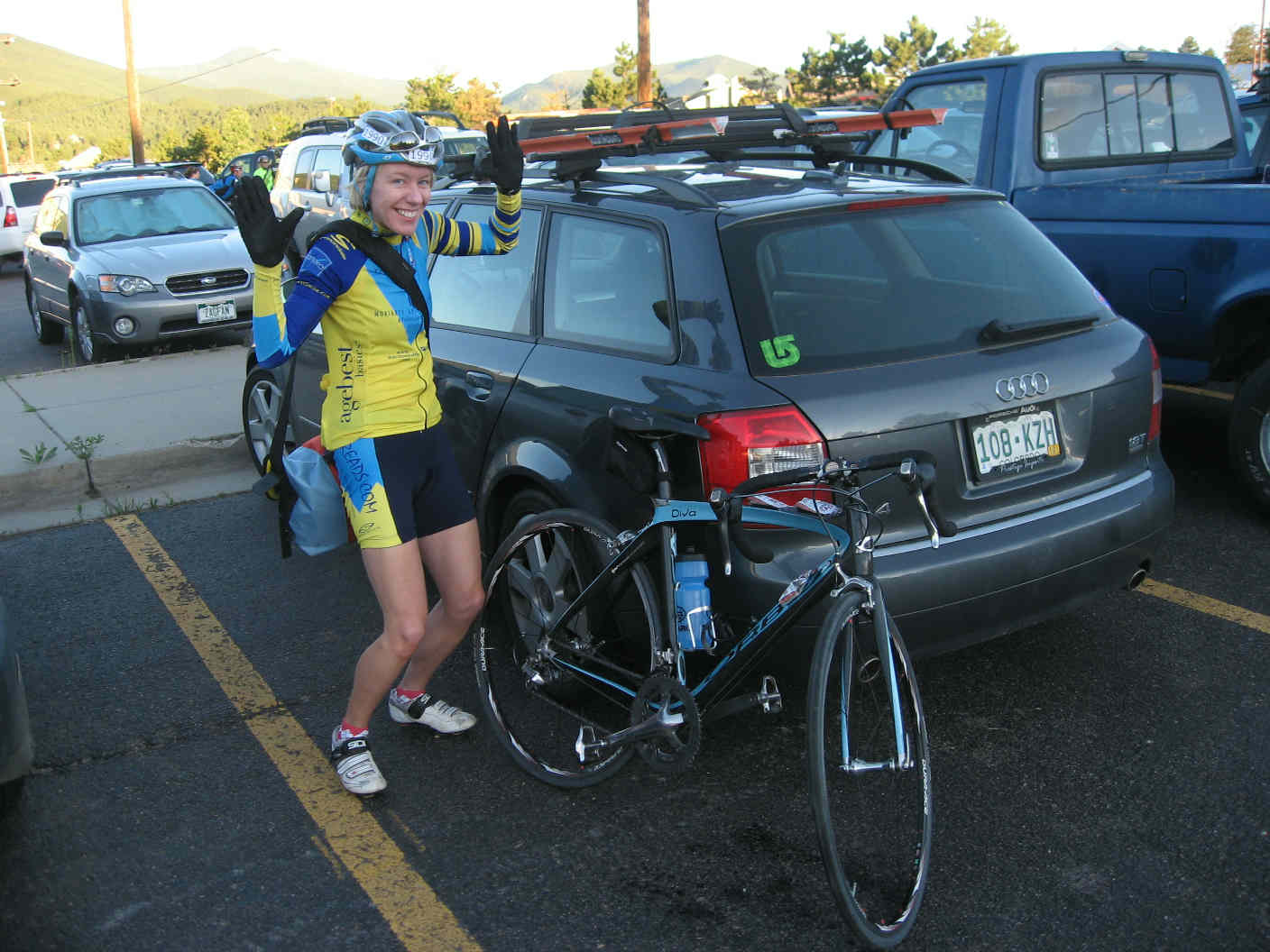
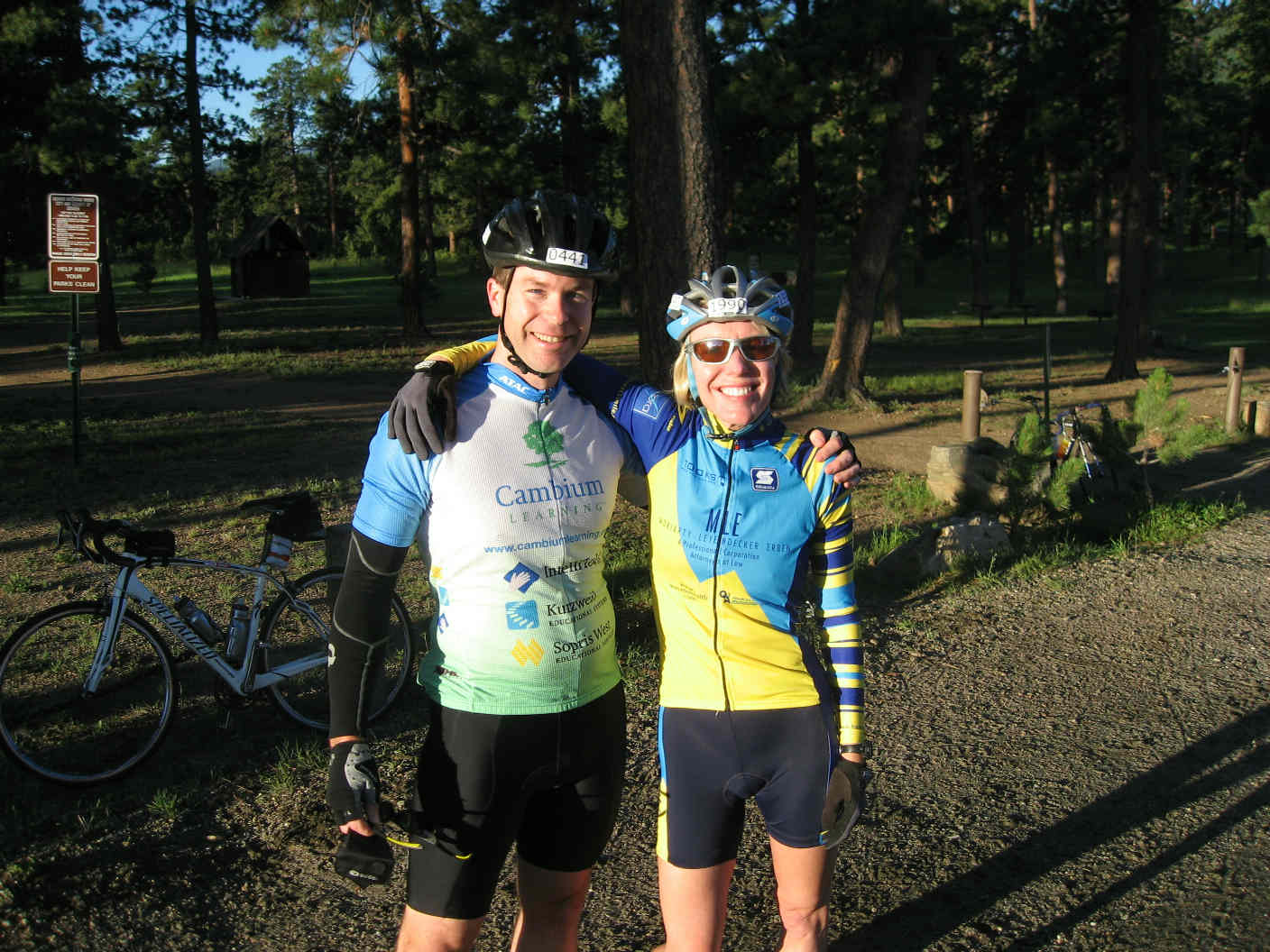
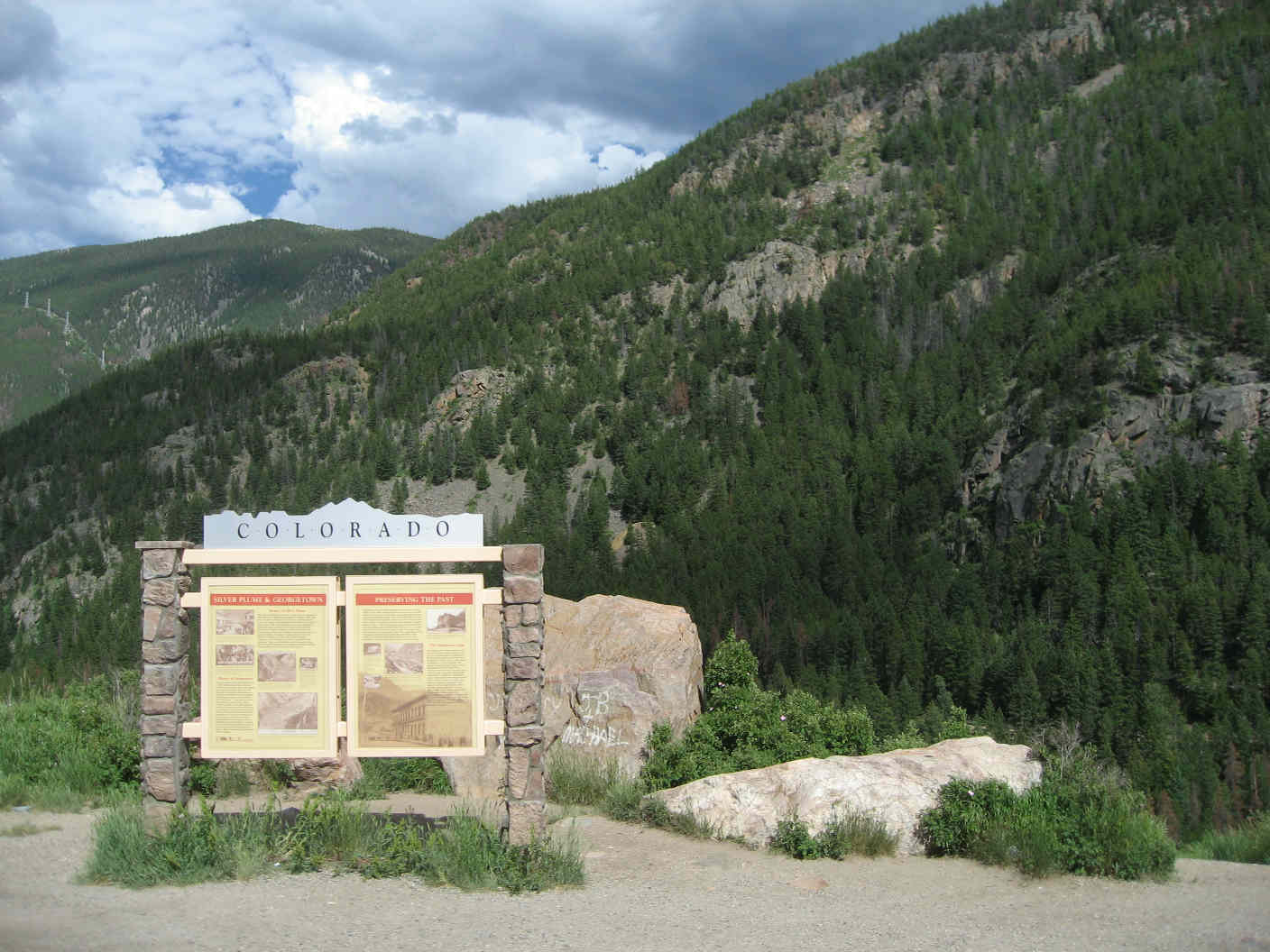
Chapter 1: Bergen Park, the start Holly and I arrived at parking lot in Bergen Park, pulled our bicycles off the roof, slipped on our shoes, added a few last minute items to our pockets and packs, grabbed our backpacks (clothes and such for the overnight in Avon), wheeled over to the luggage van, dropped off our backpacks, took one last nature break, glanced at our watches (6:15am), and ... waited. 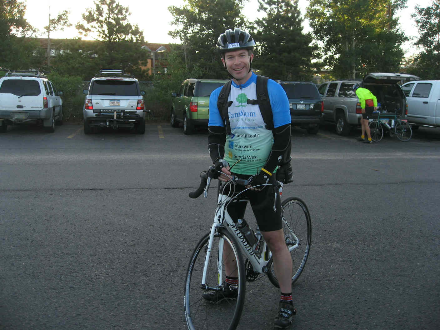
 But I'm getting ahead of myself. Like any major ride, a Triple Bypass doesn't start the morning of the
event. Mine started almost a year earlier, with the
2008 Mount Evans Hill Climb
on July 19. Infused with the thrill and accomplishment of cycling the highest paved
road in the world, I started plotting my next adventure.
Holly had ridden the 2008 Triple Bypass the week before Mount Evans--it sounded perfect.
But I'm getting ahead of myself. Like any major ride, a Triple Bypass doesn't start the morning of the
event. Mine started almost a year earlier, with the
2008 Mount Evans Hill Climb
on July 19. Infused with the thrill and accomplishment of cycling the highest paved
road in the world, I started plotting my next adventure.
Holly had ridden the 2008 Triple Bypass the week before Mount Evans--it sounded perfect.
I immediately entered a calendar reminder for January 1, 2009 at 12:01a when the registration window would open. The 2008 edition had filled up in a record 10 days, and word on the street was that 2009 would be quicker still. I kept my riding up over the course of the rest of the summer and fall, moving indoors to my stationary rig when the Massachusetts winter warranted.  December 31 saw two countdowns--the standard ball drop in Times Square, and a second for the TBP registration.
Minutes into the new year, I logged on, went to register, and ... nothing.
Turns out, registration started at 12:01am MOUNTAIN TIME--I had two hours to wait.
That evening's libations rendered such a wait unlikely, so I updated my reminder for just after sunrise, hit the hay,
awoke, and registered, snagging number 441 out of 3,500 available
(3,690 being the highest number that I would see during the ride).
December 31 saw two countdowns--the standard ball drop in Times Square, and a second for the TBP registration.
Minutes into the new year, I logged on, went to register, and ... nothing.
Turns out, registration started at 12:01am MOUNTAIN TIME--I had two hours to wait.
That evening's libations rendered such a wait unlikely, so I updated my reminder for just after sunrise, hit the hay,
awoke, and registered, snagging number 441 out of 3,500 available
(3,690 being the highest number that I would see during the ride).
A bit later that morning, I fired off a reminder to Holly, Rob, Shannon, and Laurie, reminding them each that they were on the clock. Of the group, only Rob procrastinated--the last spot was filled in a mere 43 hours. He figured he'd eventually be able to buy a slot on Craigslist ... but would he?  The answer turned out to be yes, but Rob took a different path. He ended up procuring the number of
friend, U. Nebraska professor, and serious rider Ron Nelson, who had the misfortune to see his Triple Bypass plans
crumple in multiple broken bones courtesy of a Lincoln-area driver who got a bit too close on an
early season training ride. I note the similarity of names--same number of letters, even many of the same
letters!--Rob Carson substituting for Ron Nelson, but discard any notion of conspiracy.
The answer turned out to be yes, but Rob took a different path. He ended up procuring the number of
friend, U. Nebraska professor, and serious rider Ron Nelson, who had the misfortune to see his Triple Bypass plans
crumple in multiple broken bones courtesy of a Lincoln-area driver who got a bit too close on an
early season training ride. I note the similarity of names--same number of letters, even many of the same
letters!--Rob Carson substituting for Ron Nelson, but discard any notion of conspiracy.
Bergen Park, 6:15am. Laurie and her husband Brad had already set off (at 6:00am, we'd later learn). Shannon and her friend Justin arrived just after we did, so only Rob was left to join us. He'd driven Friday with his wife Lara to the finish in Avon to start the weekend early, opting to catch a 4:45am (!) shuttle Saturday morning from Avon back to Bergen Park. Rob's arrival uncertain, Holly, Shannon, Justin, and I got rolling at 7:00am.
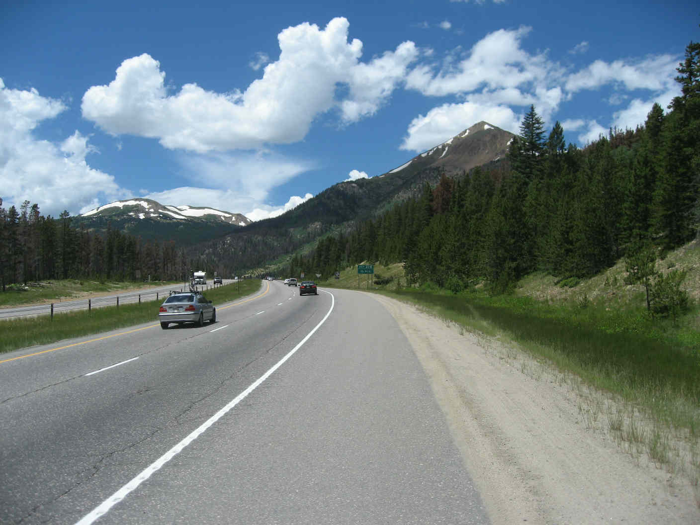
After a short stretch along a bike path, we hit the official starting point and began to climb. The incline was moderate at first and angled up gently, giving us time to loosen up our legs. Heeding the advice of a friend of Rob's who'd ridden the TBP in 2008, we planned to take it easy up to the Squaw/Juniper Pass summit, then descend into Idaho Springs at 100% to be ready for the long climb to the route's highest point, Loveland Pass. 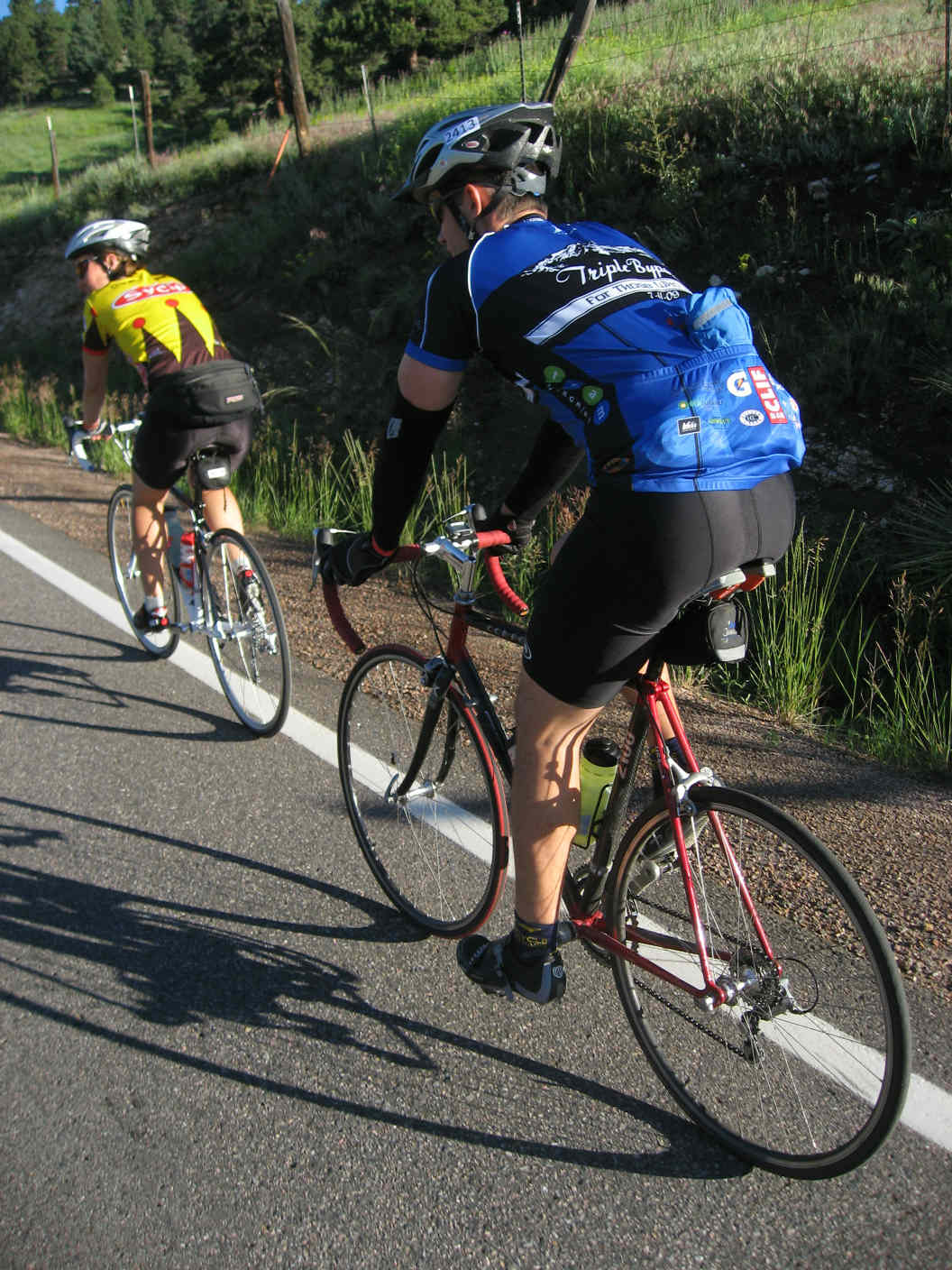
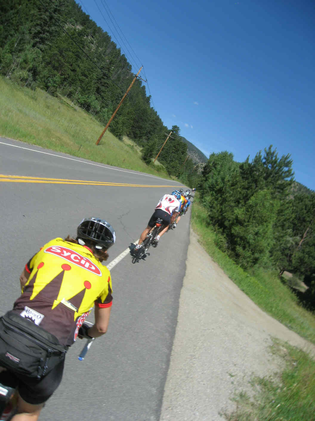
Chapter 2: ascent to Squaw Pass After not too long, Rob caught up to us, having gotten underway only 15 minutes after we did. He stayed with us a bit, then pushed ahead to see if he could connect up with Holly (of team Defined Fitness Training), who had ridden ahead. Shannon, Justin, and I continued up the climb, passing occasionally but more often being passed by fit looking riders in team kits on expensive rides (including Massachusetts' own Crack O' Dawn riders!).
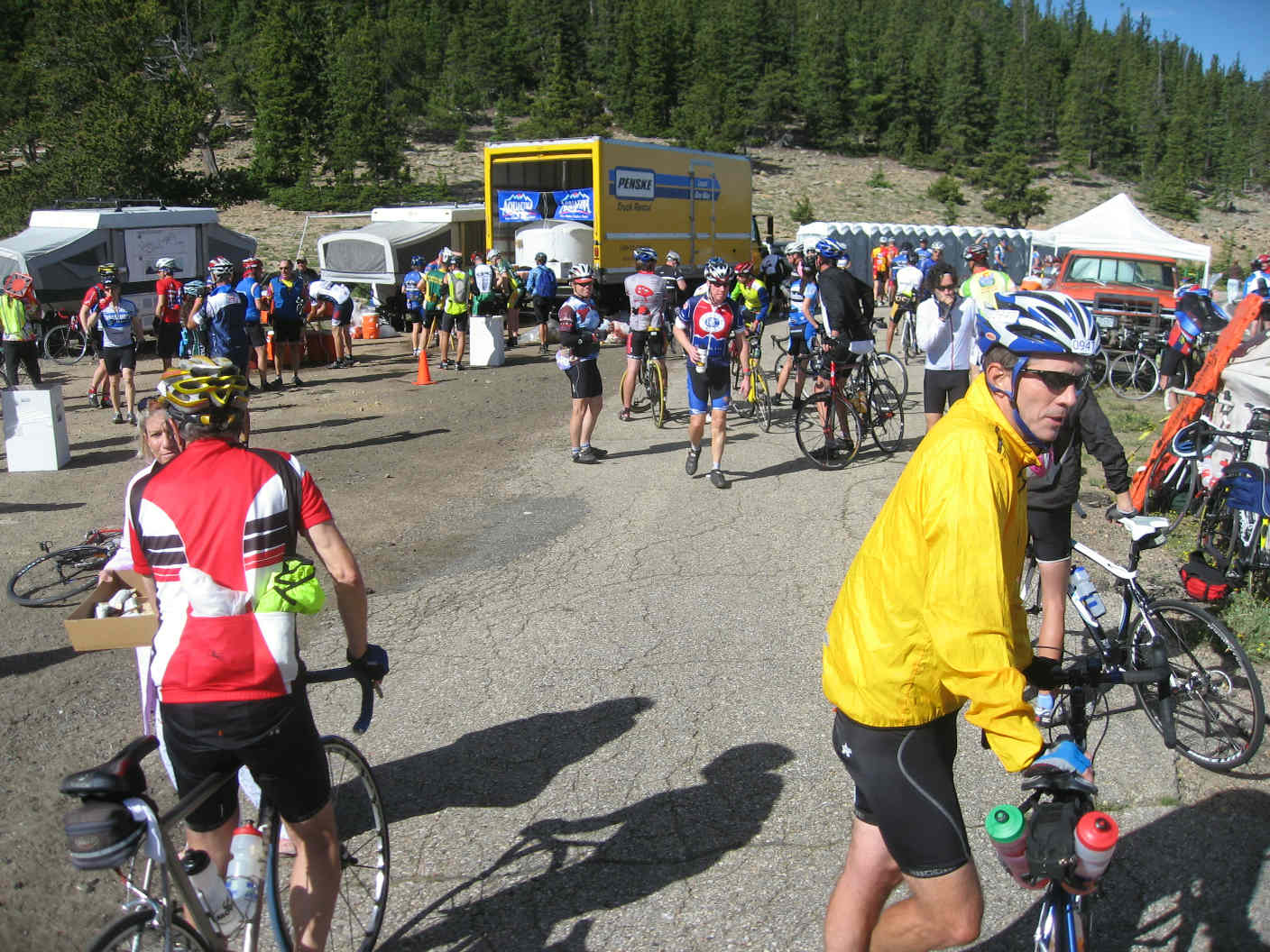
While not exactly stopping to smell the flowers, I did manage to snap a few pictures along the way. Two hours in (9:15am), the aid station at the first summit came into view and we stopped to de-fuel and re-fuel. I felt great, and with only the descent between us and Idaho Springs, was happy to have stuck to the 100% plan. 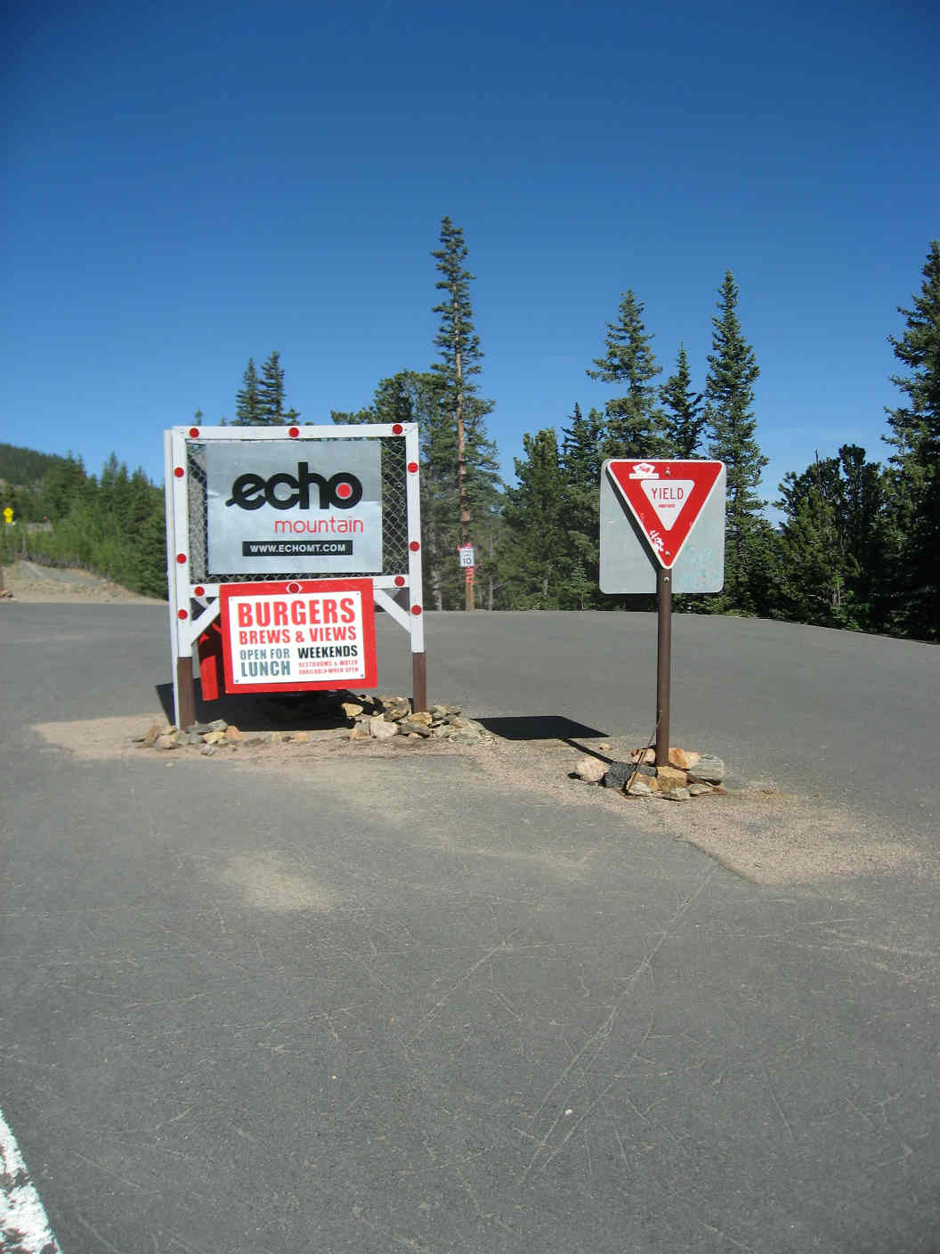
I attributed my comfort with a pretty solid spring of training. Taking on the Mount Evans climb the year before was something of a last minute decision, such that I only was able to work in a month of solid training. This year, I'd been on my stationary and out on the roads for what amounted to more than the full year leading up to the TBP. Three rides in particular--and dropping 10 pounds to 175--helped me prepare: Plymouth to Provincetown (85 miles), an Ashland-Uxbridge loop (50 miles), and a Needham-South Dartmouth point-to-point (60 miles). Chapter 3: descent to Idaho Springs Squaw Pass, 9:30am: At this point, I informed Shannon and Justin that I might not be the descenders that they were. At beautiful Echo Lake, they left me in the dust, and I proceeded down alone at an embarrassingly slow pace. Descending alone would become a theme, but again, I'm getting ahead of myself. I met up with my waiting friends at the bottom, and after a sunscreen re-application, we proceeded through the town of Idaho Springs at 10:10am and began the 30-mile climb. 
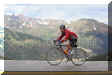
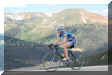
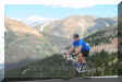
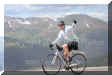
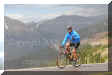
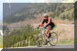
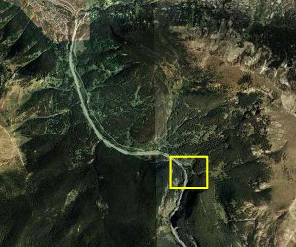
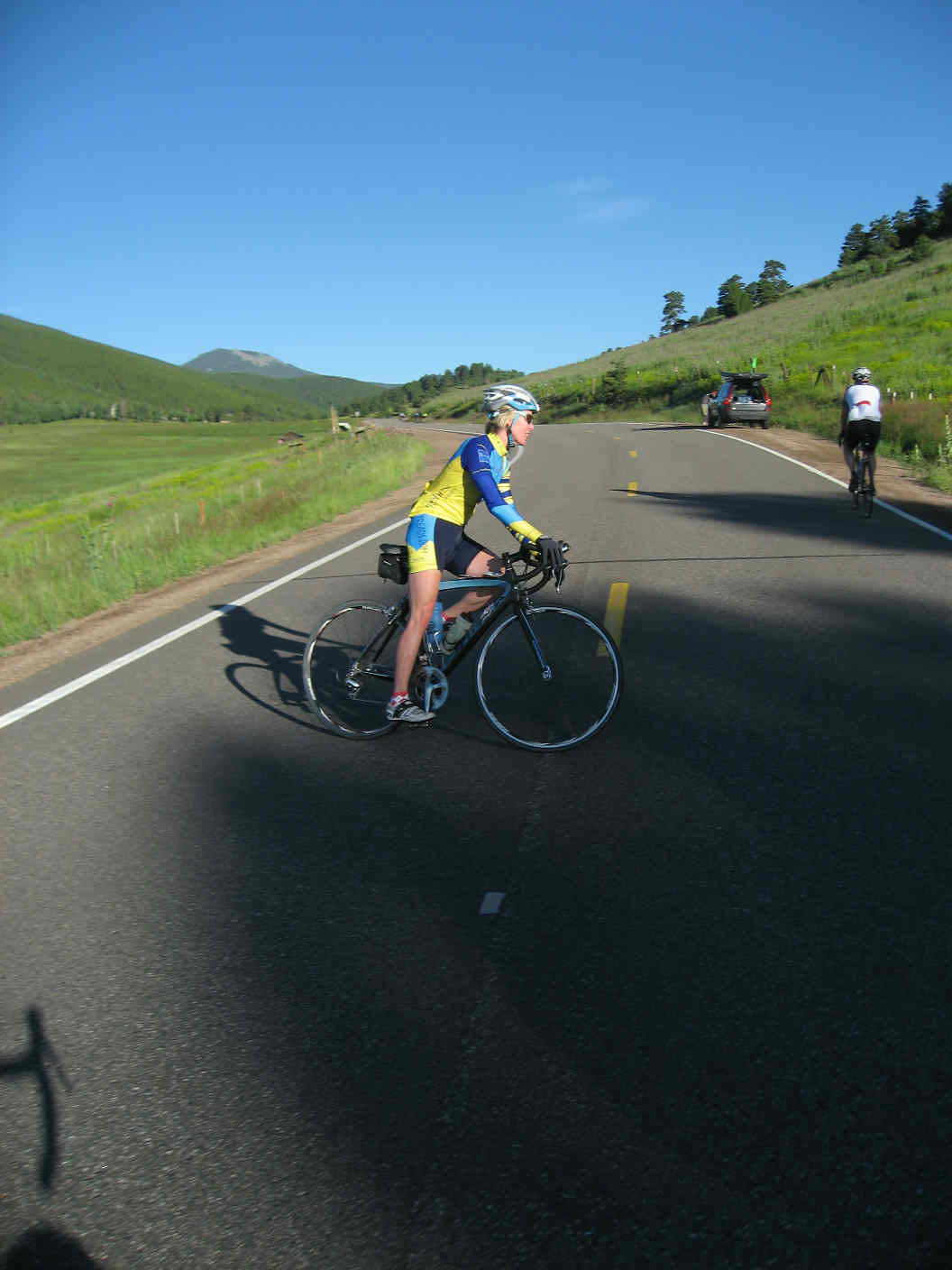
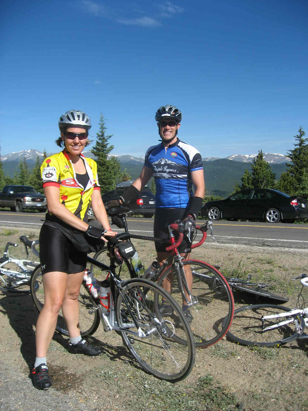
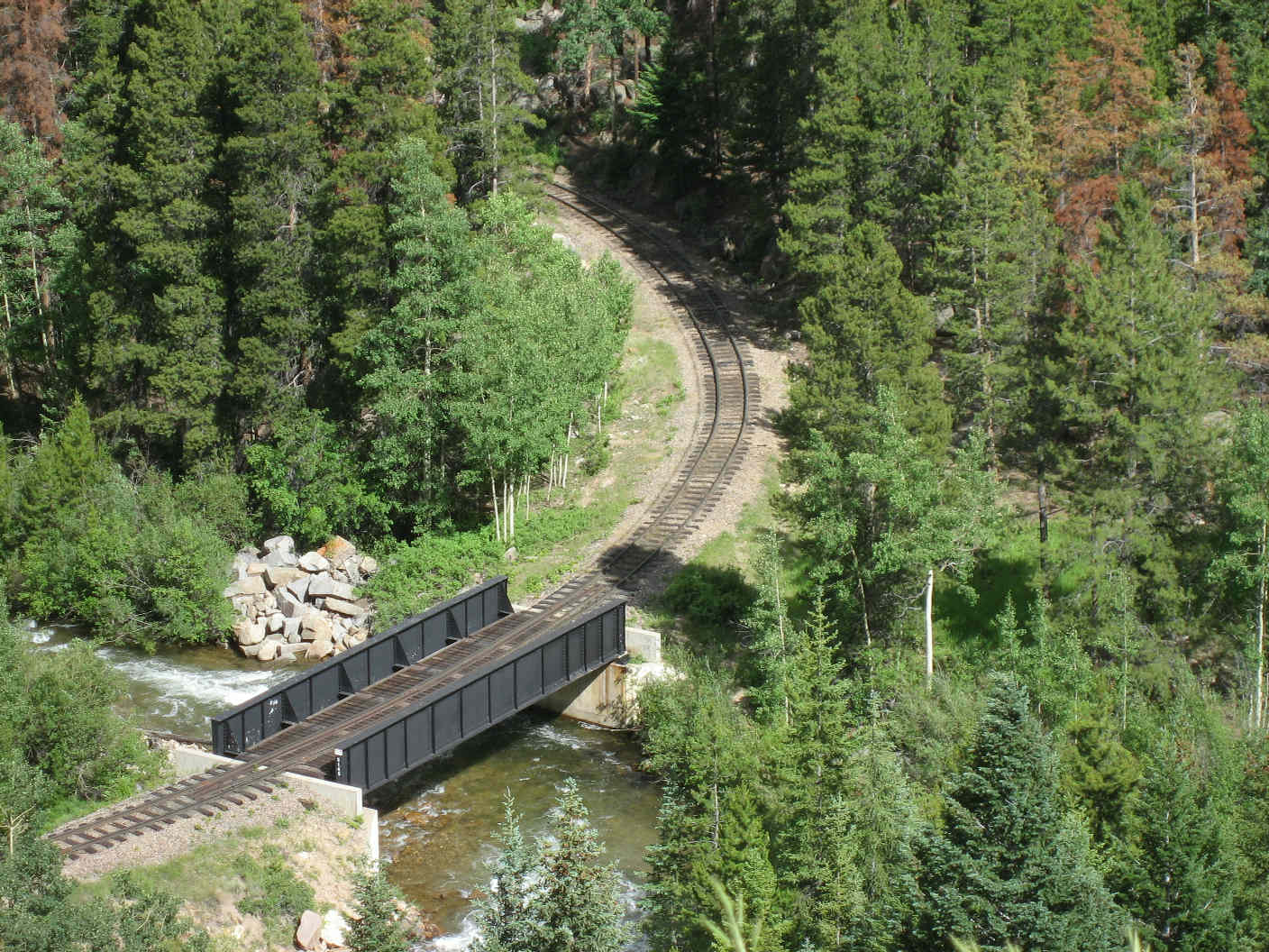
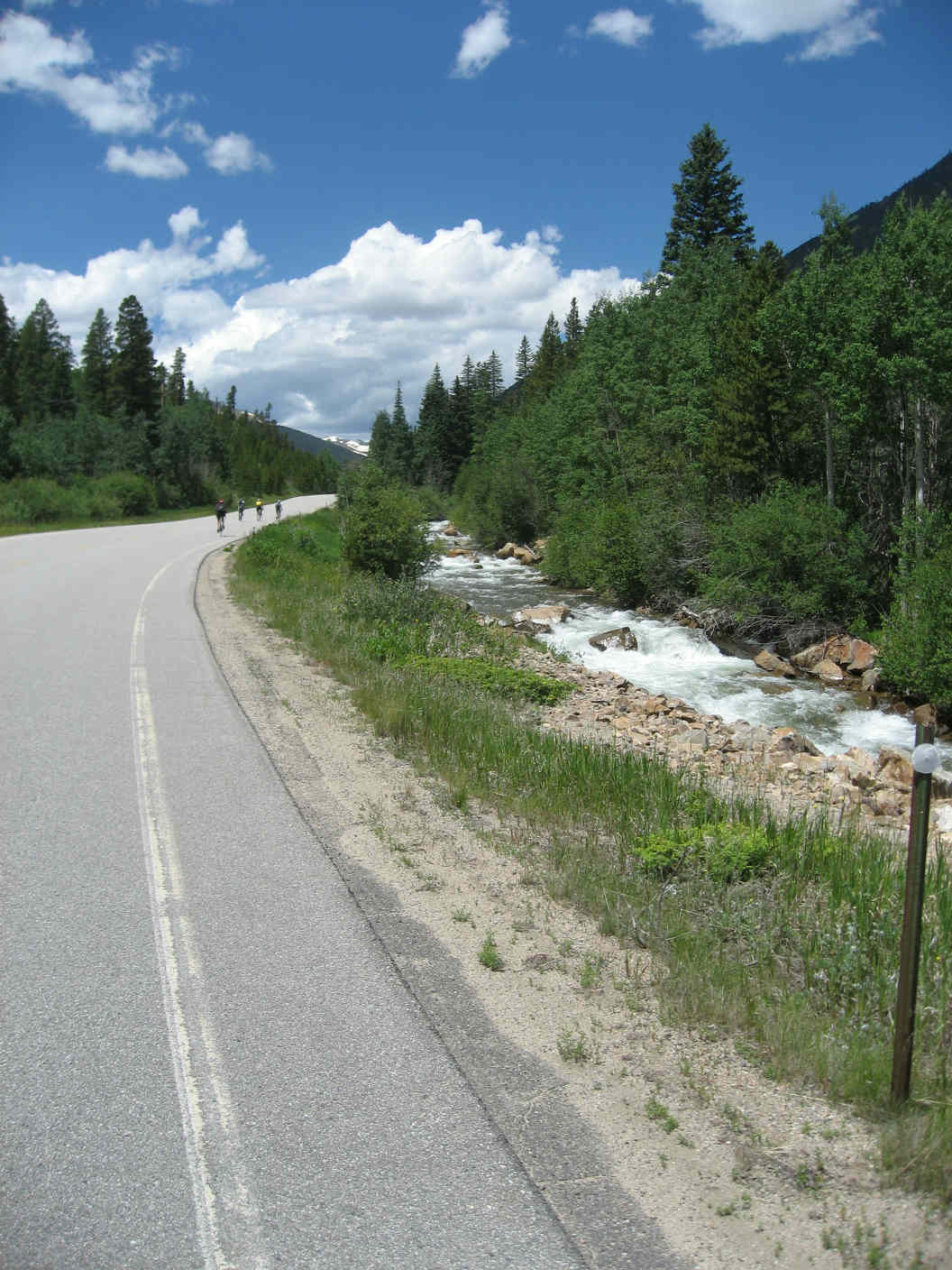
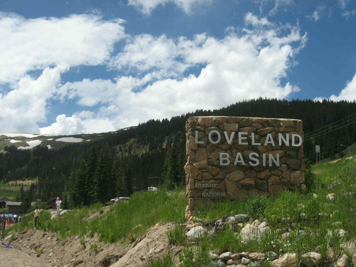
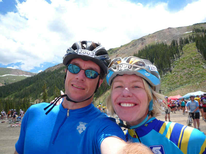
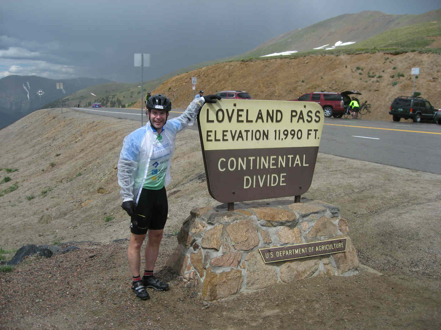
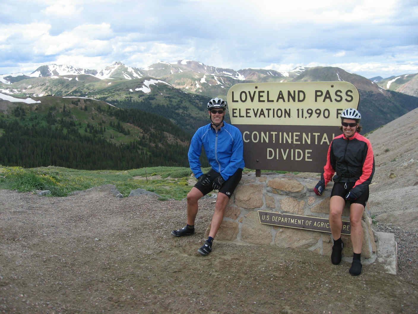
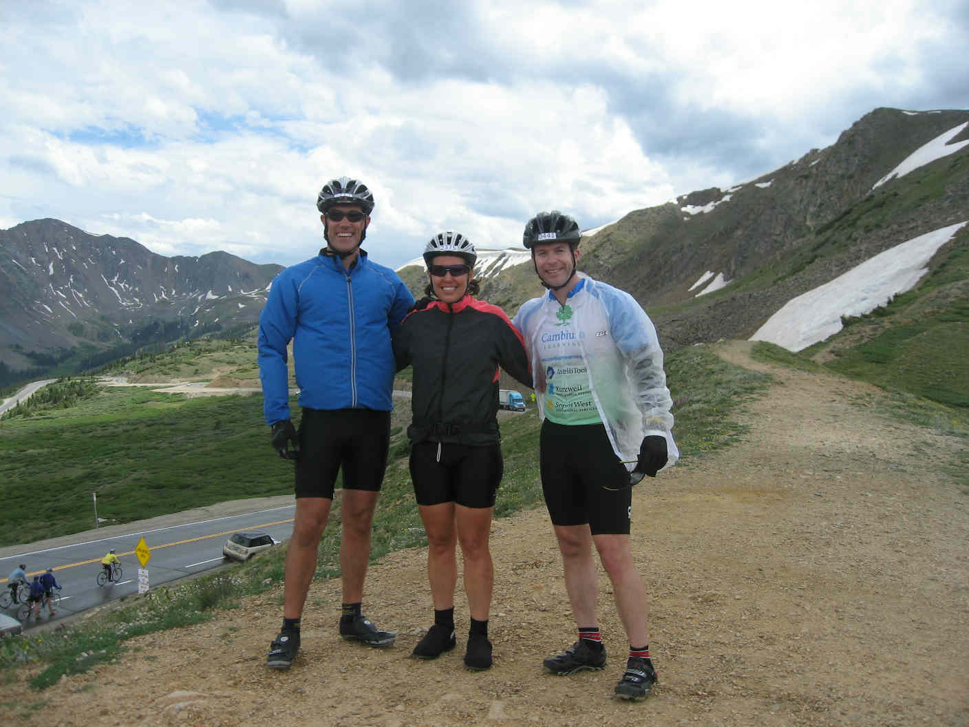
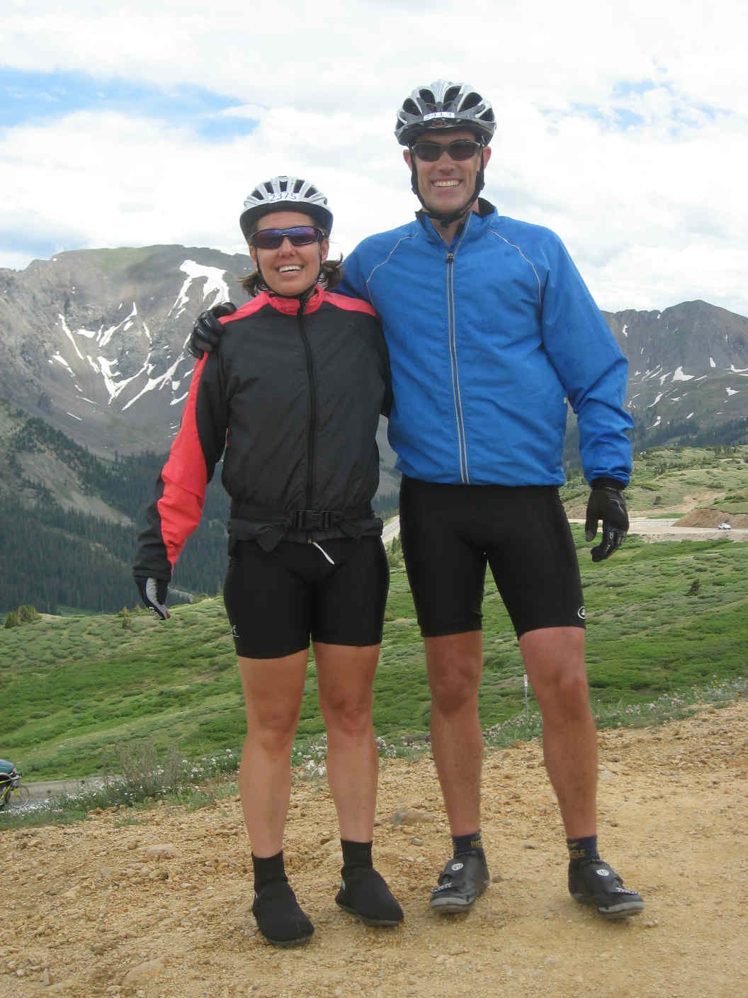
Chapter 4: ascent to Loveland Pass This climb offered a bit of everything. The first stretch paralleled a quick-flowing white water river complete with rafters. Following the Georgetown aid station (arrived 11:00am, departed 11:20am), we added a 2-mile leg on dirt, then blacktop through scenic Georgetown, a short but steep climb, some frontage road, and then a final stretch on I-70--tractor trailers and all!--before making the Loveland Basin aid station (1:40pm) 4 miles from the summit at Loveland Pass (Rob and Holly had already passed through, see picture lower right in the grouping below). 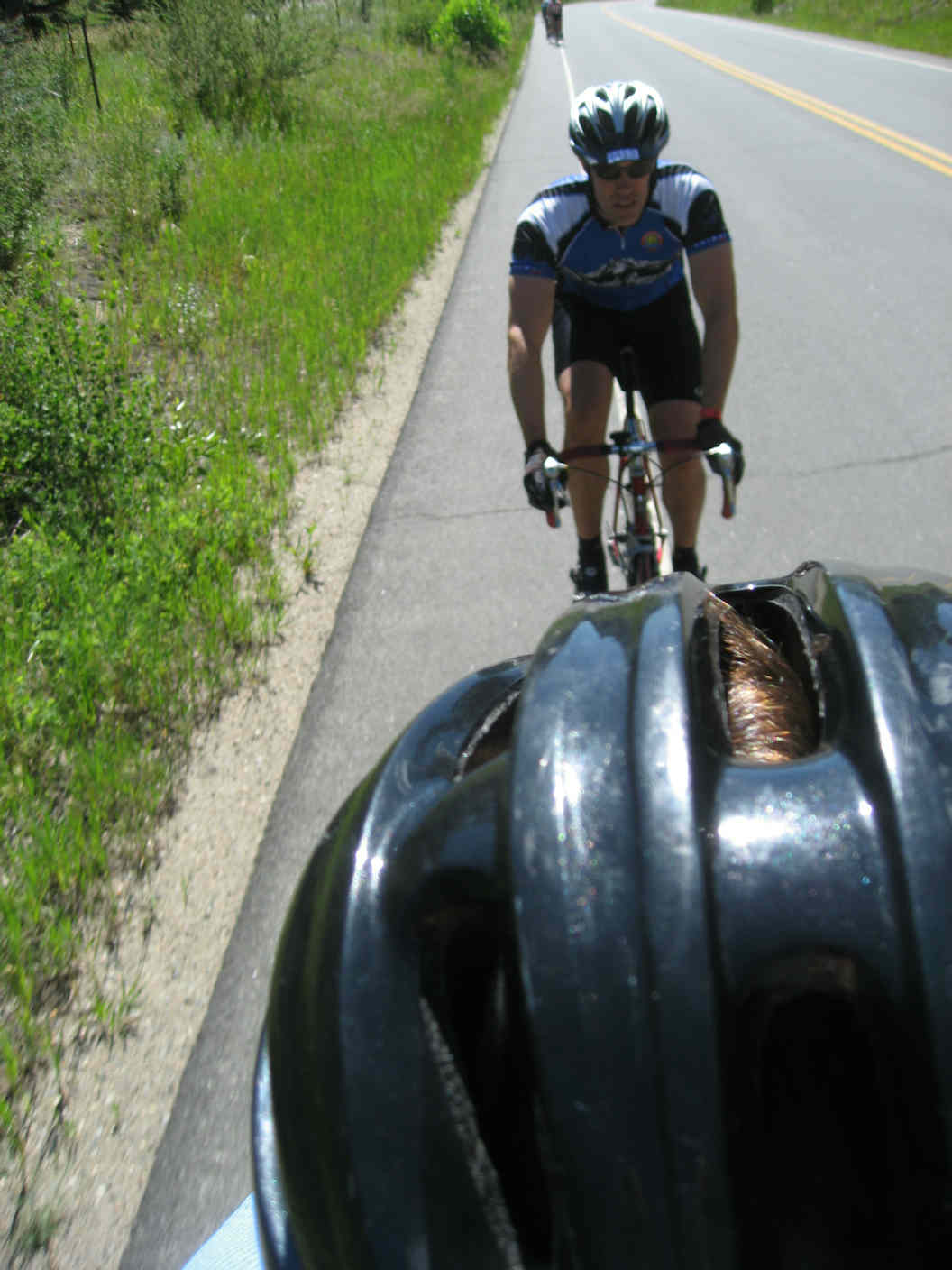
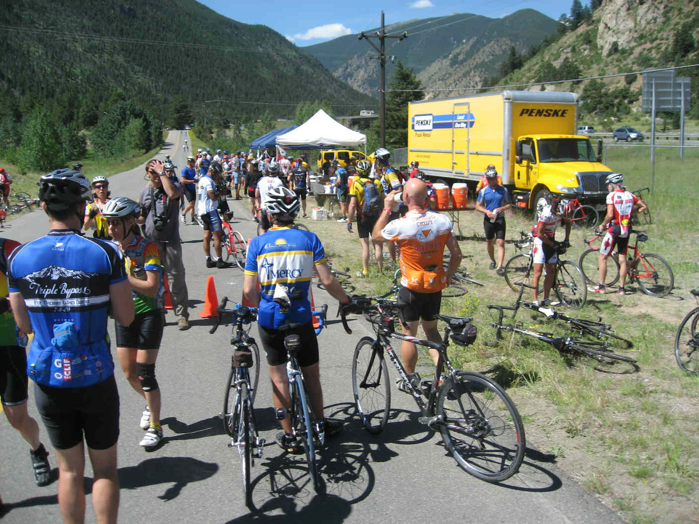
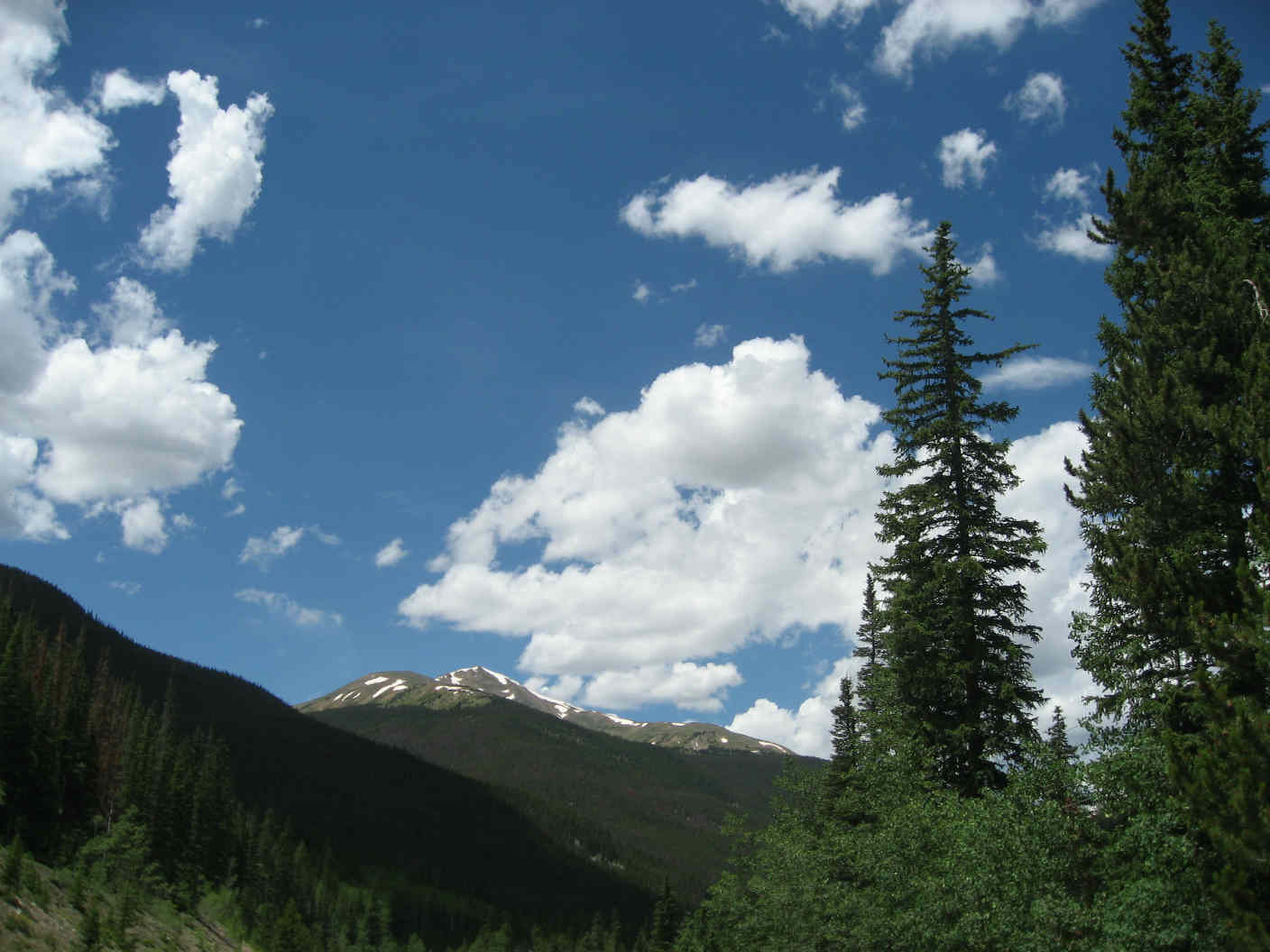
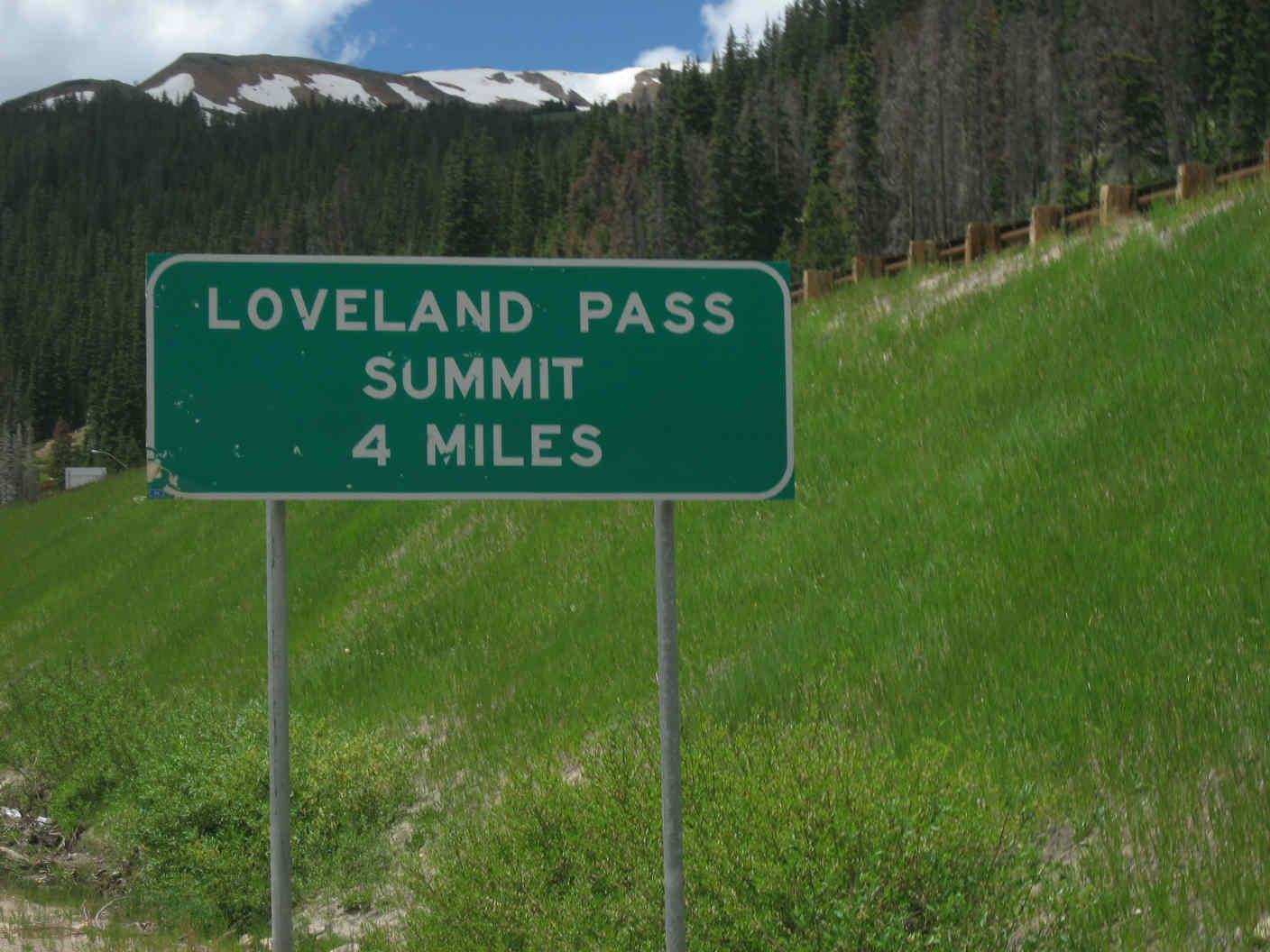
Weather-wise, we'd been fortunate thus far. Skies were beautiful cloudless blue through to Idaho Springs, and dotted with only the occasional cloud as we started up. The sun was still shining bright as we sat at Loveland basin taking in lunch. We mixed sandwiches with drops of rain, met up with Laurie and Brad, topped off our fluids, and set out at 2:30pm under gray skies on the last 4 miles to the top of our world. 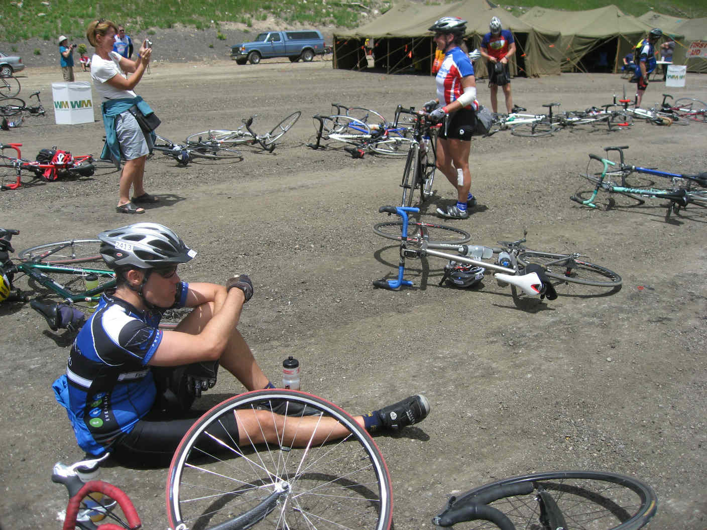
As the route map shows, the climb consists of a first straightaway, a right turn to a second leg, a hairpin to a third leg, and a second hairpin to the 4th and final leg. The grade increased considerably over the climb to Loveland Basin, hitting 6-8% over significant parts of this section. 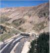
 For those unfamiliar with the general route west from Denver, a bit of a geography lesson is in order. I-70 is the major
highway taking skiers and others out to Keystone, Breckenridge, Copper, Vail, and beyond. Prior to I-70's construction,
Route 6 served this purpose. Route 6 takes the "up and over" approach, cresting at 11,990' at the Continental Divide.
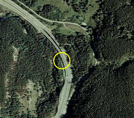
I-70, by comparison, goes through the
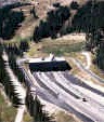
Eisenhower Tunnel
(completed in 1973 after 5 years under construction; a second tunnel, named for former Governor and US Senator
Edwin Johnson, was completed in 1979 after 4 years of construction) at a more manageable 11,112 feet. Naturally, we were
taking the high road.
For those unfamiliar with the general route west from Denver, a bit of a geography lesson is in order. I-70 is the major
highway taking skiers and others out to Keystone, Breckenridge, Copper, Vail, and beyond. Prior to I-70's construction,
Route 6 served this purpose. Route 6 takes the "up and over" approach, cresting at 11,990' at the Continental Divide.
I-70, by comparison, goes through the
Eisenhower Tunnel
(completed in 1973 after 5 years under construction; a second tunnel, named for former Governor and US Senator
Edwin Johnson, was completed in 1979 after 4 years of construction) at a more manageable 11,112 feet. Naturally, we were
taking the high road.
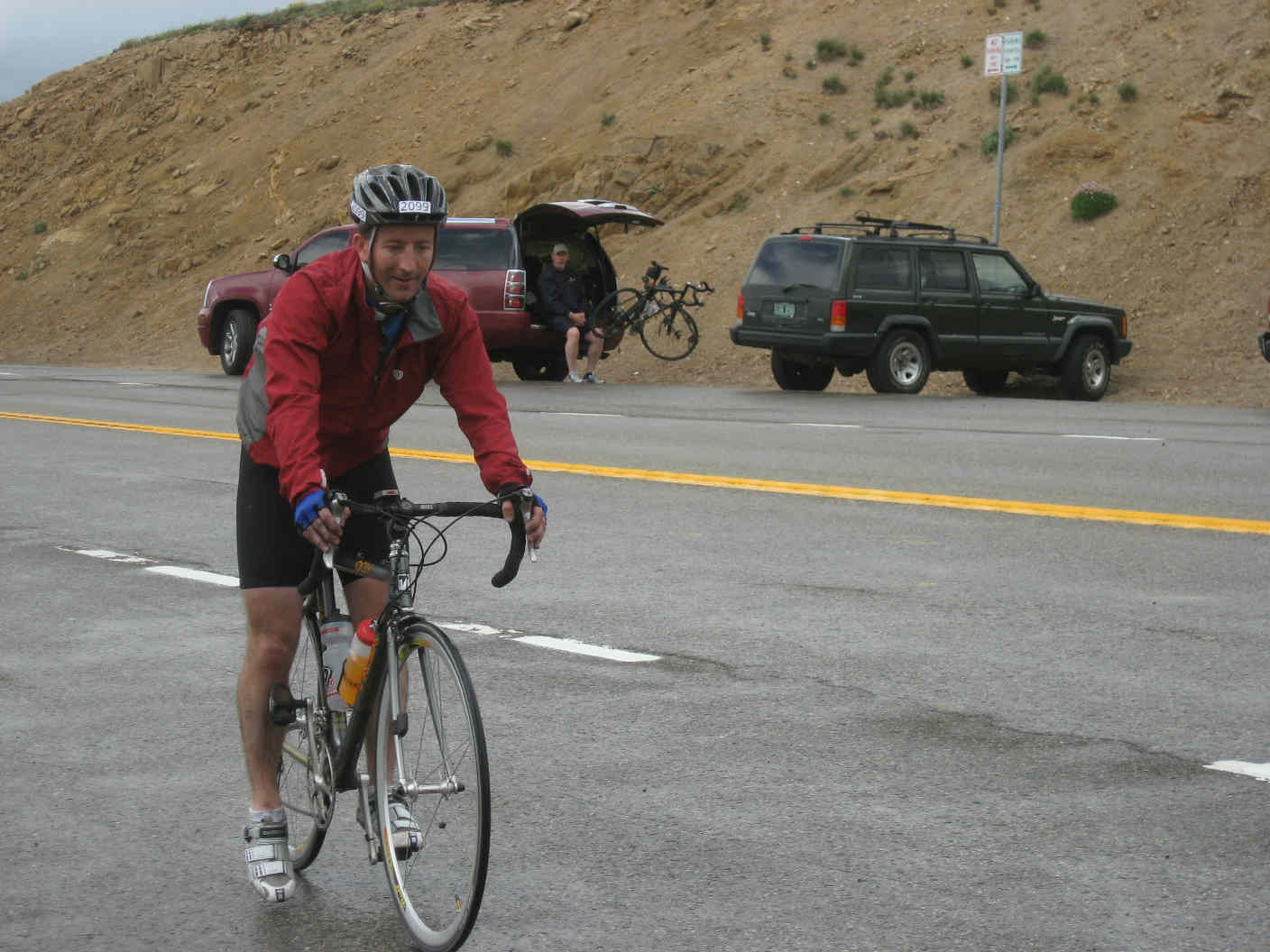
Shannon, Justin, and I weren't alone, high road notwithstanding. In addition to other intrepid cyclists, we shared the road with sightseers in cars and hazardous chemical carrying semis not allowed through the tunnels. Oh, and rain. It's time to start talking about the weather. Shortly after beginning the final 4-mile climb, the rain started to fall. As we neared the final hairpin turn, "falling" no longer seemed an adequate description; the rain was now clearly propelled our way by great force, resulting in a quick stop to don our rain jackets. Mind you, this is all while minding the precipitous dropoffs and the aforementioned hazardous material carriers. 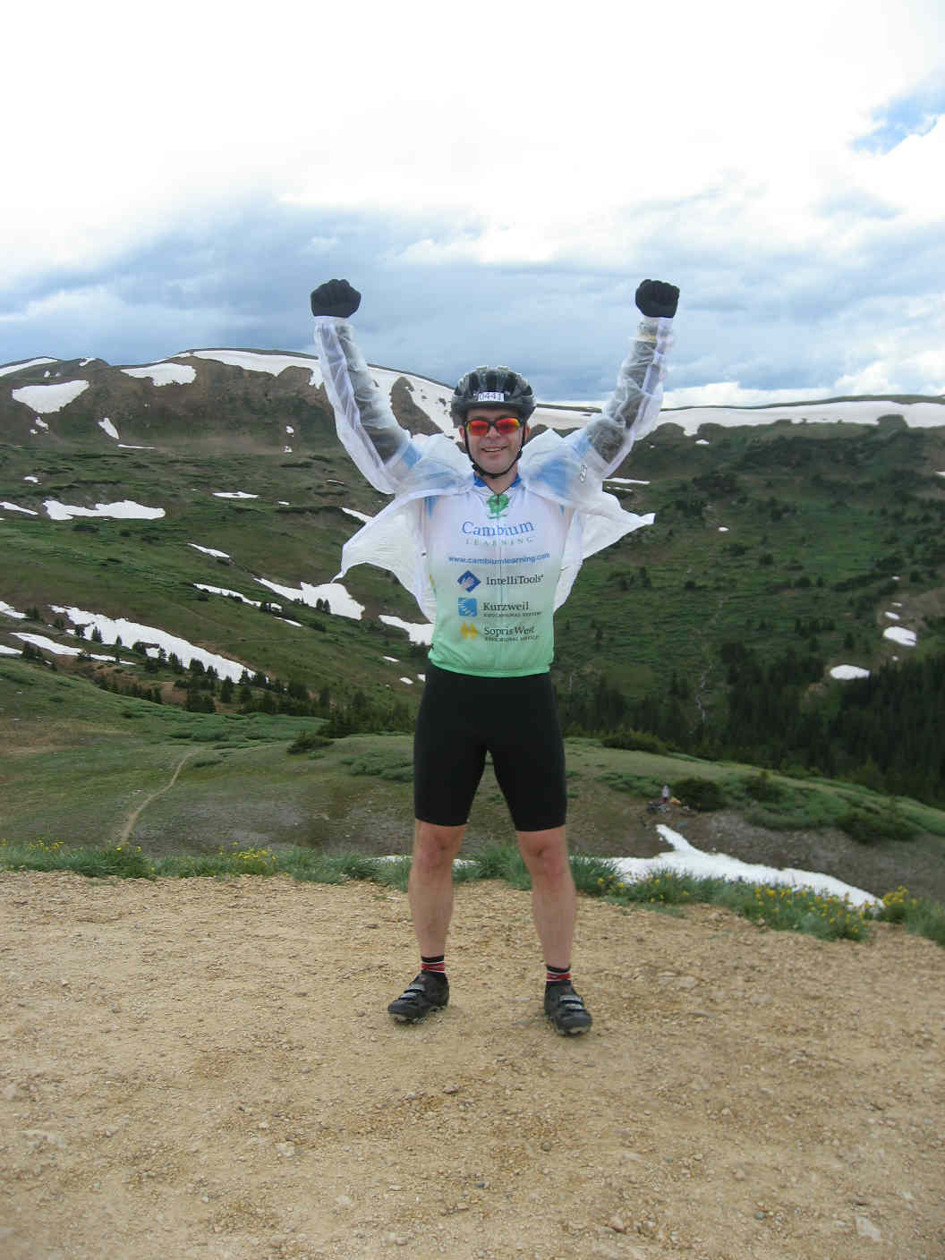 Another diversion: my
rain jacket.
Kudos to Rob for finding this one. The TBP rules require a rain jacket, but there was certainly no enforcement. Most riders
appeared to have at least a windbreaker, but I'm incredibly glad that I went the waterproof route.
Sure, multi-thousand dollar carbon fiber bikes with high-end components make it possible to start the Triple Bypass,
but I'm not sure I would have finished without this $20 gem.
Another diversion: my
rain jacket.
Kudos to Rob for finding this one. The TBP rules require a rain jacket, but there was certainly no enforcement. Most riders
appeared to have at least a windbreaker, but I'm incredibly glad that I went the waterproof route.
Sure, multi-thousand dollar carbon fiber bikes with high-end components make it possible to start the Triple Bypass,
but I'm not sure I would have finished without this $20 gem.
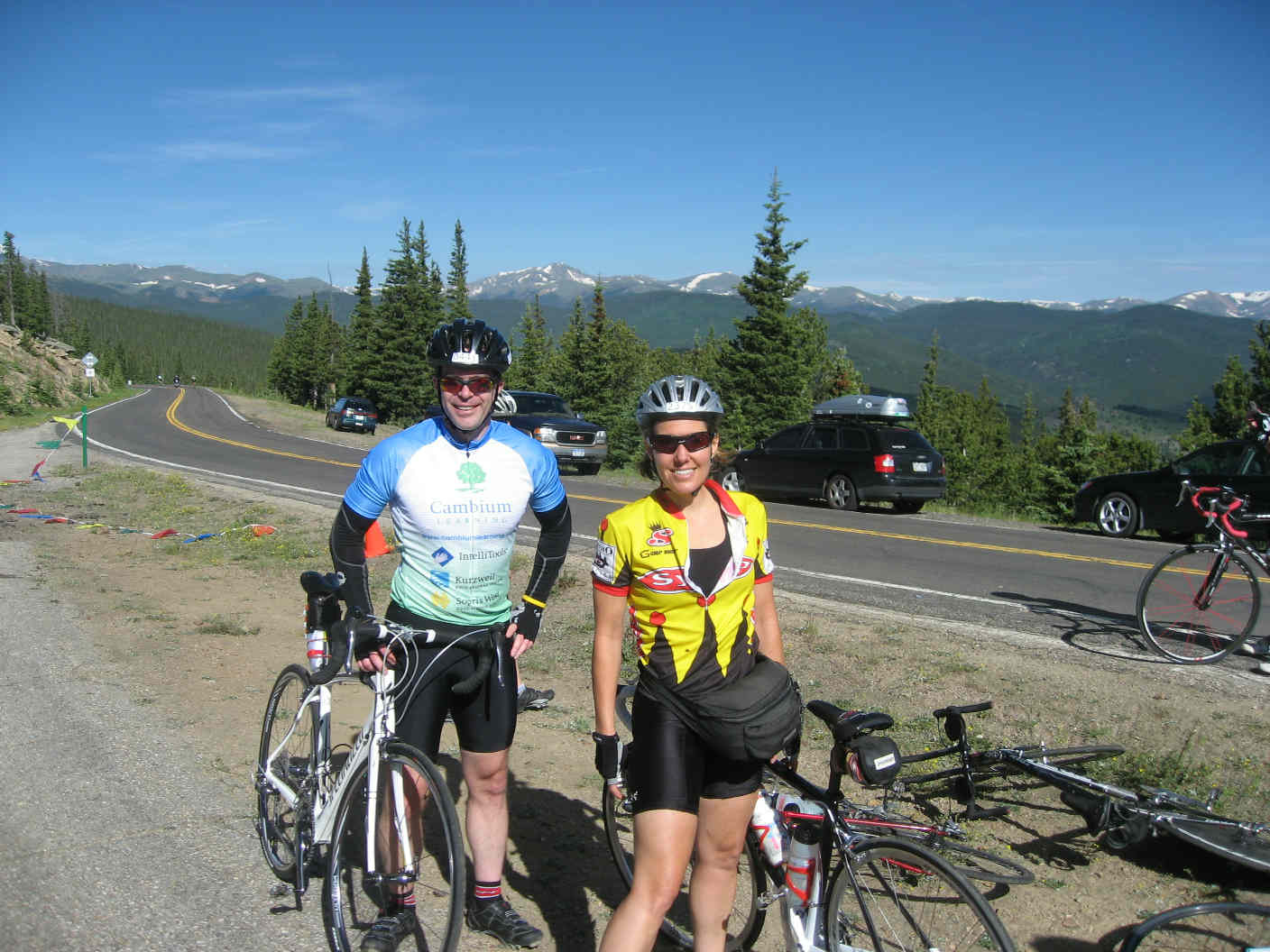
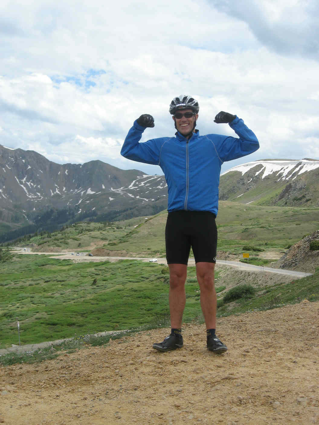
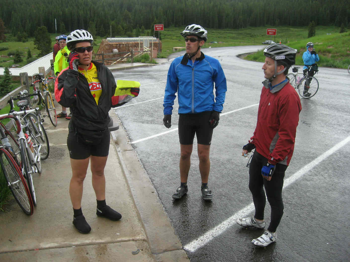
Appropriately attired, we rounded the final hairpin and plowed towards the summit, taking care to smile for the Tour-Photos event photographer just shy of the top. As the sign for the Continental Divide came into view, the rain stopped and the weight of the world dropped away. We'd done the hard part, as we'd been told (but might later disagree), and took a break for some photos. 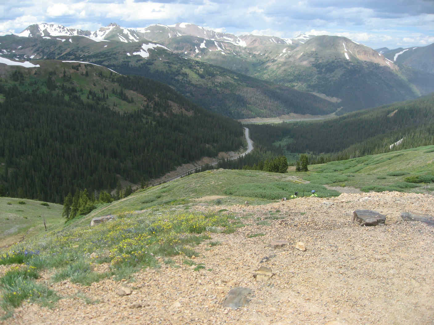
Chapter 5: descent to Frisco Now, an admission. I like climbing. I can ride moderate increases for essentially forever, and even steeper grades for a pretty long time. Regarding descents, I'm not just slow, I'm a chicken. I'd been *dreading* the descent from Loveland Pass for months, imagining high winds (there were none) and sheer exposed drops (only one, it turned out, and not so bad with a wide shoulder). It was the only pre-ride black cloud--not the distance, not the altitude gain. As I looked down at the road ahead, it didn't look all that bad, and soon enough I was below the treeline and on my way. Slowly, mind you, but at least not scared out of my wits. This won't be the last you hear of descents, but there are a few miles between this part of the story and that one. I met up with Shannon, Justin, and Brad (having joined us at Loveland Pass) following the descent, passing Keystone at 3:50pm. Dillon Lake lay between us and our next objective, the Frisco aid station. To the right around the lake, a busier but flat road. To the left, fewer cars, but Swan Mountain. Naturally, the TBP route went left. The Swan Mountain climb was nothing compared with the two we'd done, but somehow, it didn't seem right to make a climb that we didn't get "credit" for (after all, it wasn't the Quadruple Bypass we were riding). Swan turned out to be at most an annoyance, and we made our way to Frisco, arriving at 4:30pm. 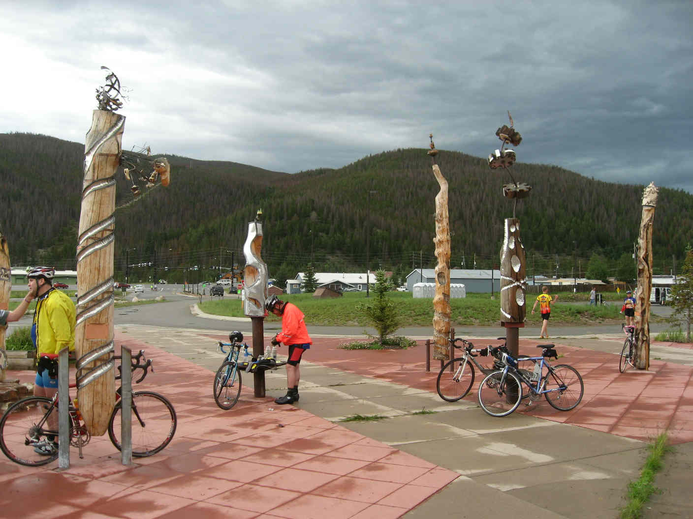
Chapter 6: ascent to Vail Pass We rolled out of Frisco at 4:50p and entered the bike path portion of the ride. Flat at first, then climbs of steadily increasing grade. Some patches of rain, but mostly just overcast. The path was beautiful (very Seattle-like), and it was a pleasure to be off of the roads. As we closed on Vail pass, the build-up of fatigue over 90 or so miles started to take its toll. For the first time on the ride, I encountered periods of "I'd rather be watching the Tour," but those thoughts passed soon enough when we saw the canopies of the Vail Pass aid station (6:05pm), the prospect of the final stretch to the finish plastering smiles across our faces. 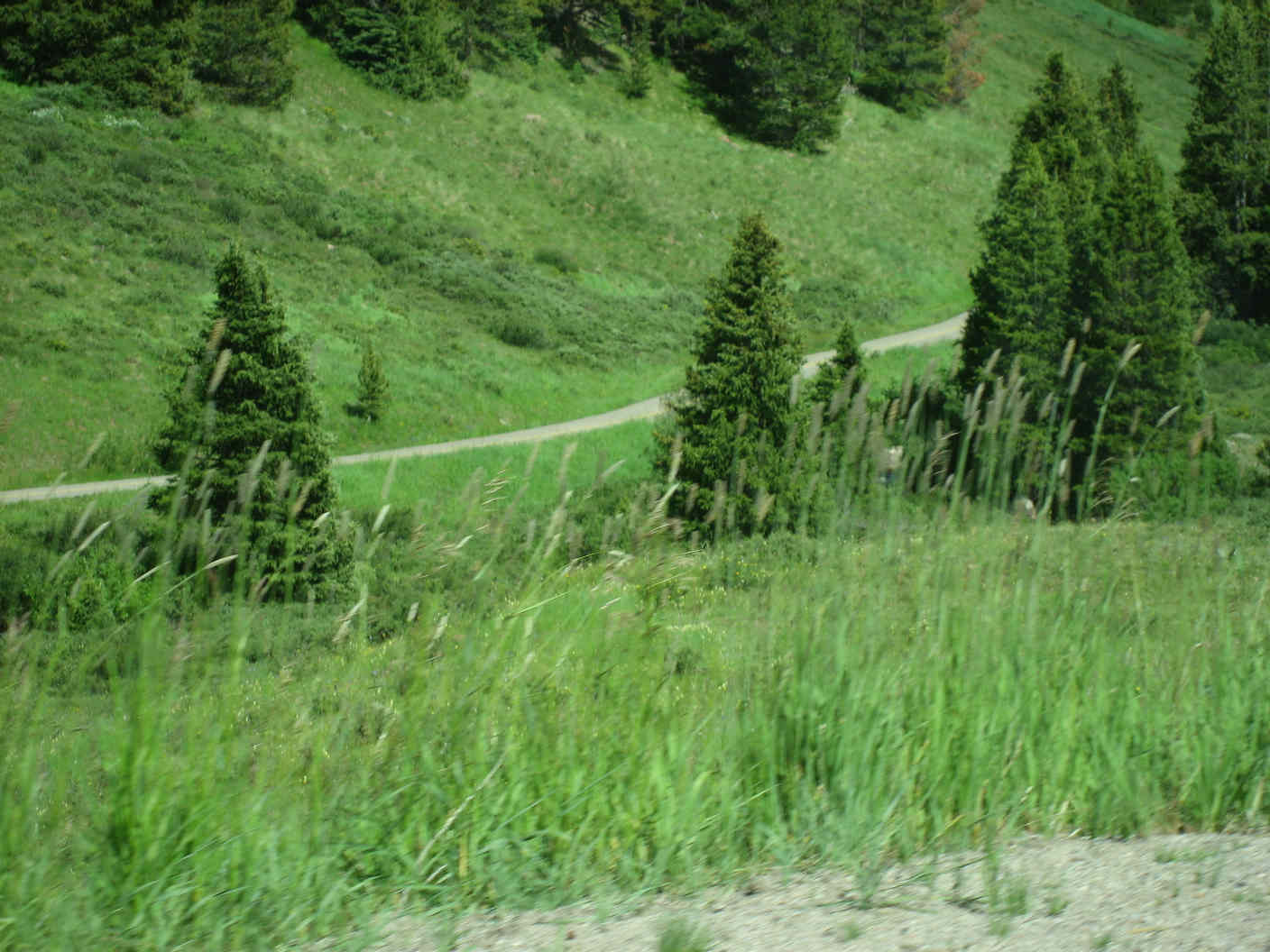
Chapter 7: descent to Avon Little did I know how unhappy I was about to be. With a 6:15pm launch, the 30 miles remaining consisted of roughly 15 miles of descending followed by about 15 miles of flats. I'd read an interview in the Team Evergreen newsletter with Sue Meinerz, who at the time had ridden all 20 Triple Bypasses, and was planning to ride this one too (with helmet #0001!). She'd indicated that the narrow bike path descent from Vail Pass was the most challenging part of the ride. I assumed that she was talking about the top little bit. Instead, I spent the next 15 or so miles descending at not much more than 10mph, scared to death by the steep slope, narrow path, blind turns, and wet pavement. I *really* need to work on my descending (weight back, hands low, lots of pressure on the outside pedal, and just let it roll, but as Yogi Berra famously said, "In theory, theory and practice are the same--in practice, they aren't). I was getting cold, and the stress of the descent wasn't great for my shoulders and back. I was by myself except for brief moments being passed by riders whom I can only imagine were suicidal. At one point, I even dismounted to walk down a short steep stretch coming out of the trees with a sharp wet left at the bottom. In some way, my fears were rewarded by a particularly tough right turn under an overpass--it's one thing to imagine the negotiation of curves on the road, quite another to imagine having made that turn intact with the speed I might have been carrying. The turn needs a name: with the help of Yahoo's Babelfish and with full apologies for what is almost certainly a trashing of the Spanish language, I propose de giro a la derecha del diablo, or Diablo Derecha for short.
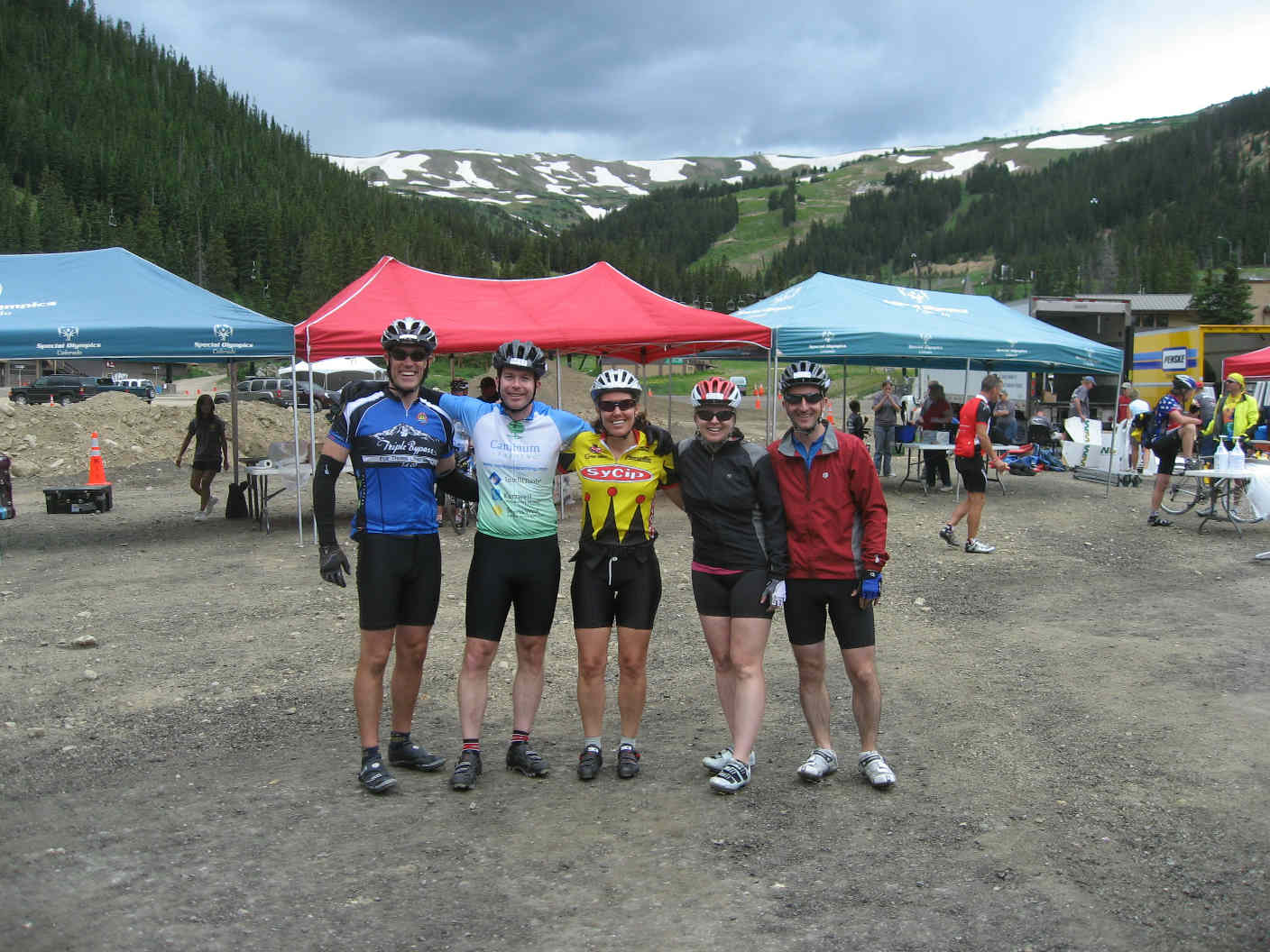
By the time I hit the flats after another 10 or so miles, Shannon, Justin, and Brad may have already been rolling in to the finish (they pulled in around 7:10pm). Safely on Route 6 in what may have been East Vail, I connected up with a Denver couple who had come down the descent behind me. I tucked in on their back wheels and rode the train through Vail into Avon and the finish at 7:30pm, snaking through the many rotaries in what must have appeared to spectators to be top Tour de France form. Chapter 8: Avon, the finish Many riders, support teams, and locals had gathered to cheer the inbound riders--what a lift! Uncharacteristically, I neglected to snap photos of the area or have anyone snap one of me. I met up with Shannon, Justin, Brad, and Laurie and we headed together for the barbeque. No calorie concerns this night! Holly and Rob had rolled in around 6:00pm, if my memory is right, and they did better on the photo documentation front. 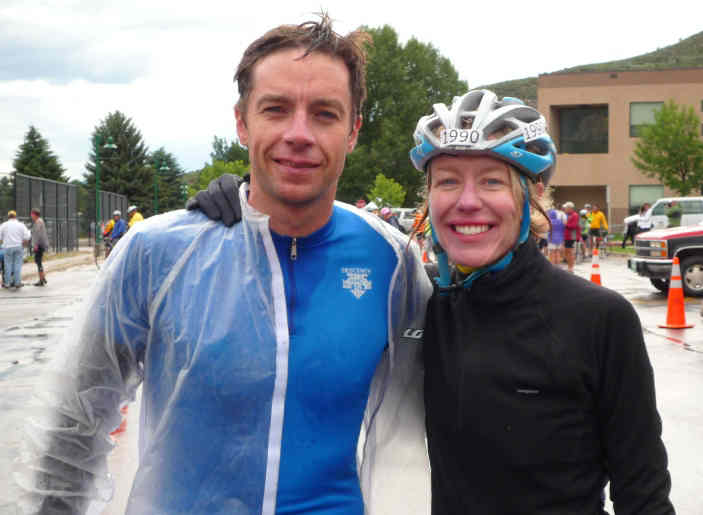
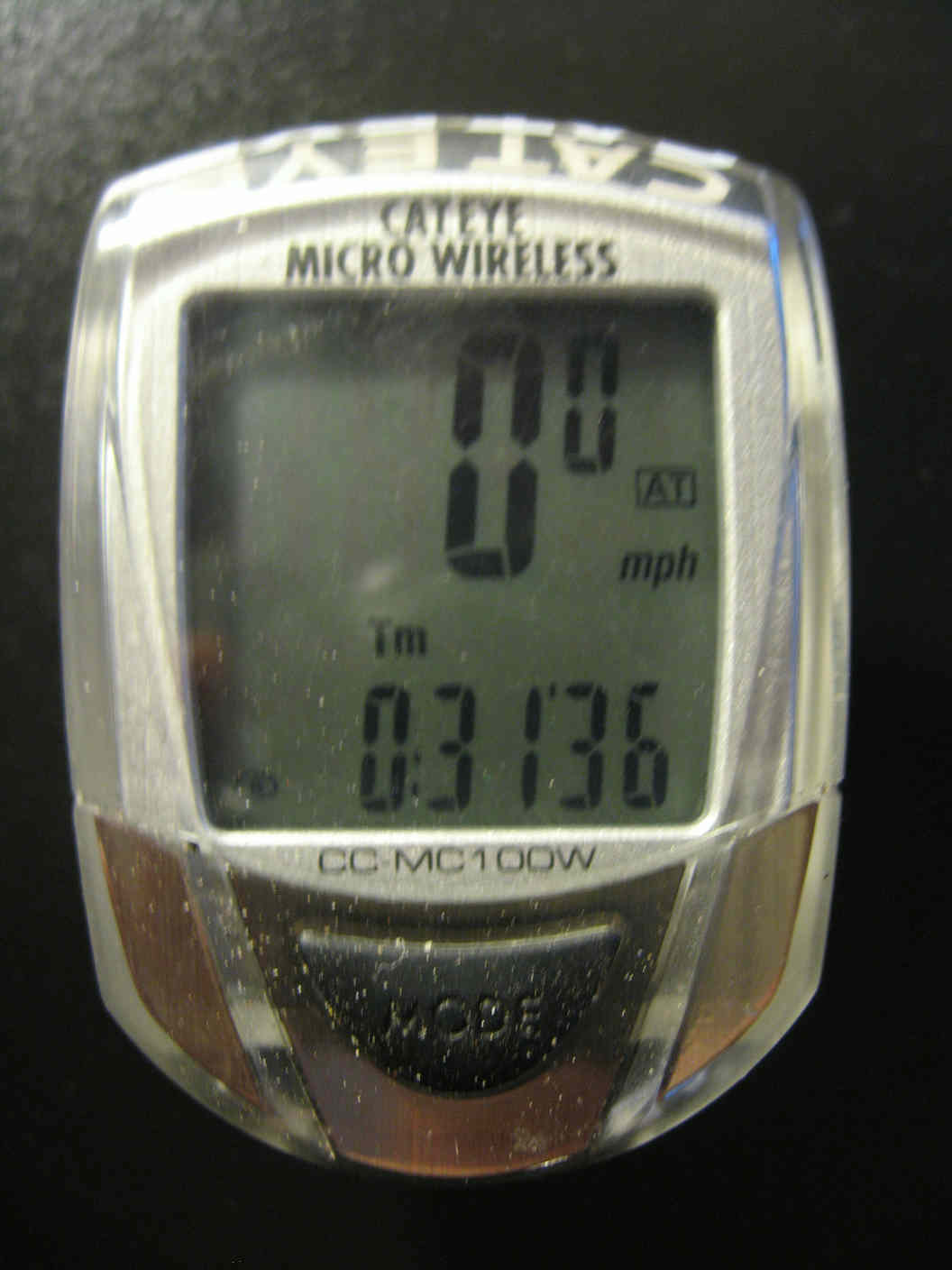
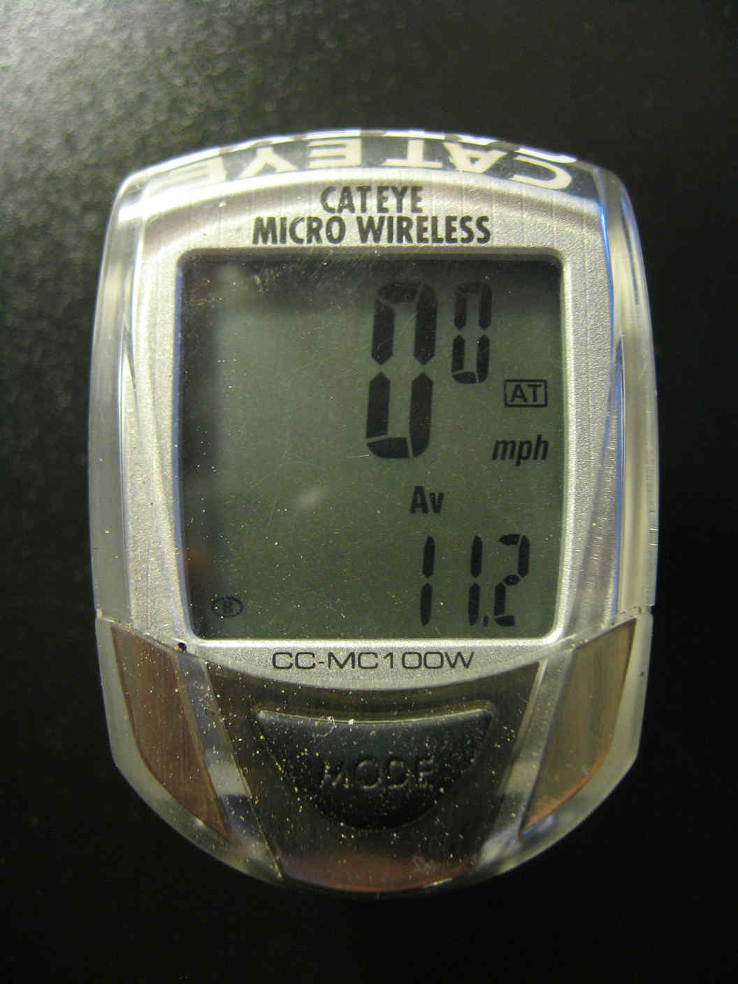
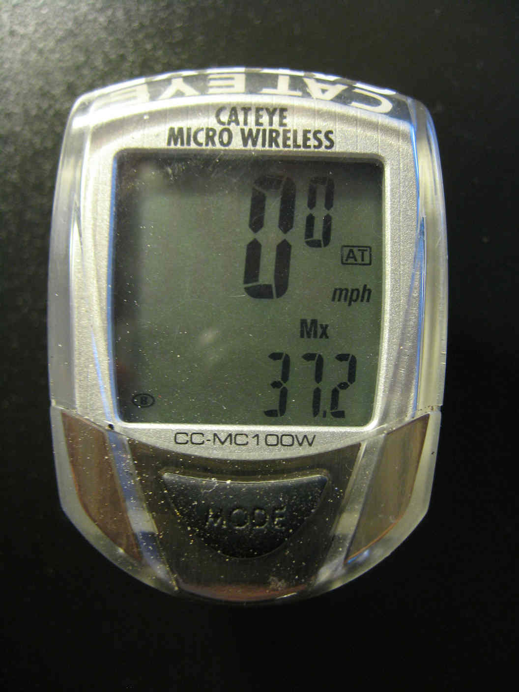
I did think to grab a few shots of my bike computer later that evening: 118 miles, my second century and longest ever, the prior one being 110 miles from Boston to Martha's Vineyard back in graduate school more than 20 years ago. Note that Cateye didn't allow for century-plus riding through the Rockies: 9 hour, 59 minutes max, meaning that my 10 1/2 hour effort showed up as 00:31 and change. My average was 11.2 mph, with a max of 37.2 (likely on the lower part of the descent from Squaw Pass). As it turns out, my pre-ride projections (with no calculation to speak of) for times at each checkpoint were incredibly accurate if you account for our starting an hour later than planned. 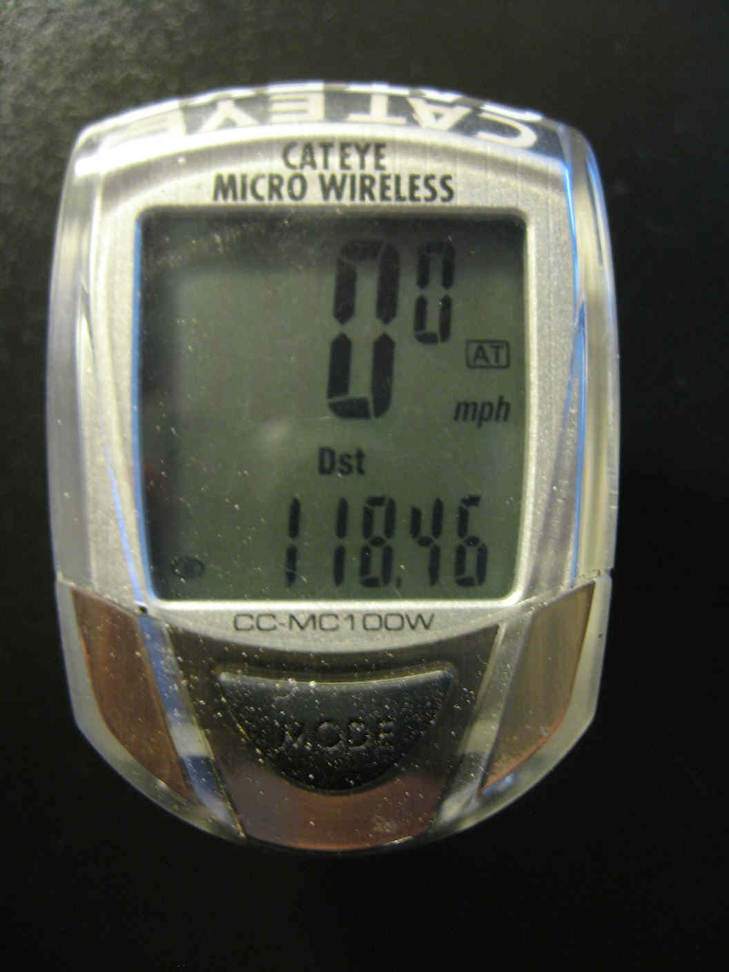
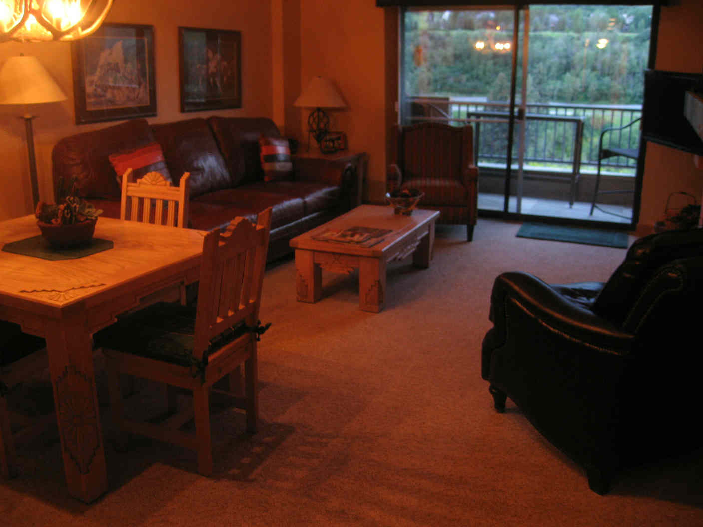
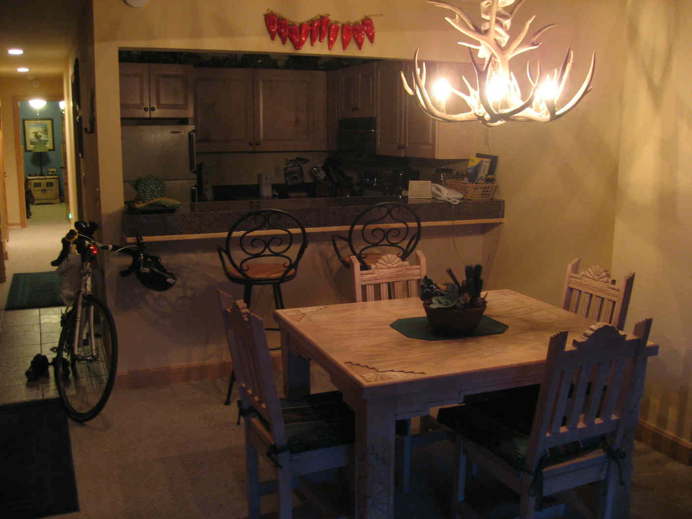
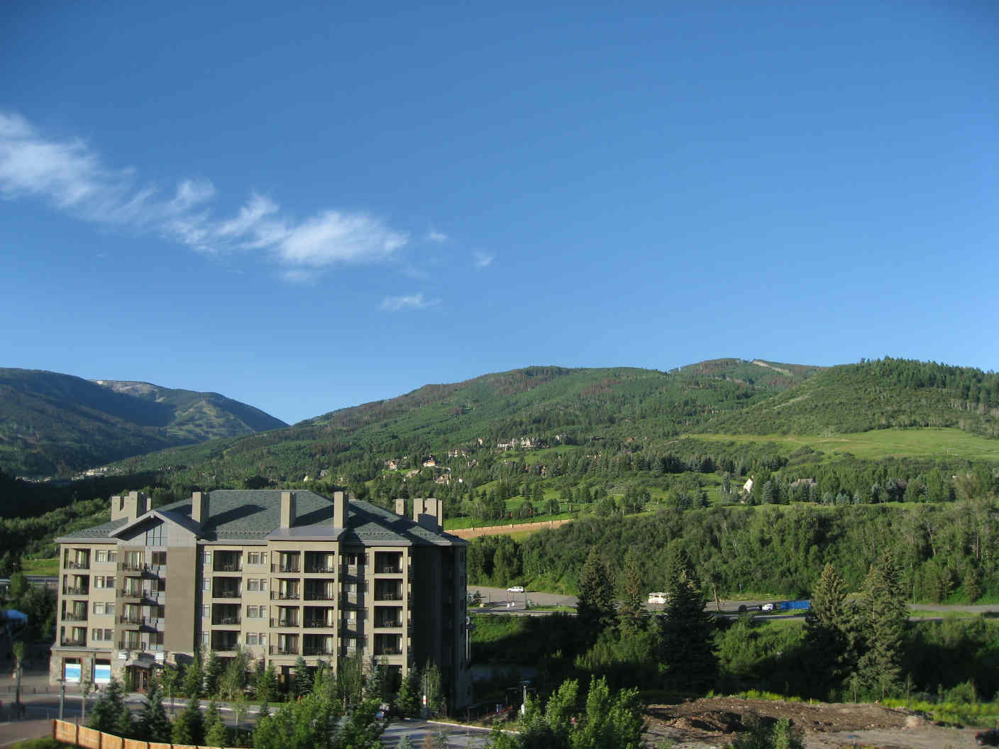
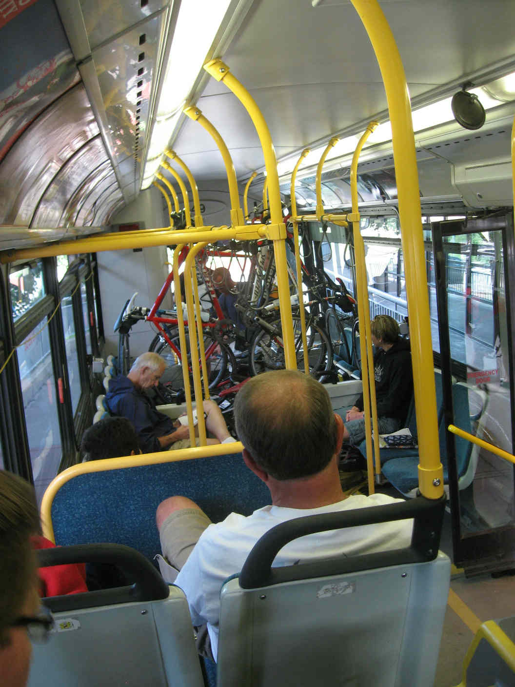
The shots below show the Season at Avon condo complex, our living room, the view out the window Sunday morning, and the shuttle ride back to Bergen Park (note the clever hanging of bicycles up front). 
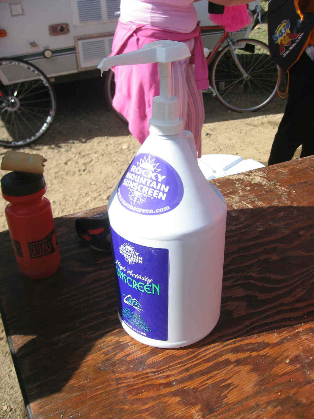
Conclusion Phenomenal day, and great weekend overall! Special kudos to Team Evergreen, who put on an absolutely first-rate event, from friendly volunteers to food, sunscreen, first aid, mechanical help, sag wagons, and police/EMT presence all along the route. Since I gained immensely reading what others had written about prior rides, I thought I'd put my thoughts to "paper" to serve the same function. As a reward for those who've read this far, please see my "lessons learned" below.
|
||||||
|
click here for slide show | back to Triple Bypass home | back to portfolio | back to deepbrook home |